
Location Northern Canada Territory Nunavut Population Uninhabited | Highest point 1590 m Region Qikiqtaaluk Area 482 km² | |
 | ||
Island group Canadian Arctic Archipelago | ||
Sillem Island is an uninhabited island in the Qikiqtaaluk Region of Nunavut, Canada. It is the second largest (after Bylot Island) of the several hundred islands and islets that are located in Baffin Bay, immediately off the northern coast of Baffin Island. It is defined by Clark and Gibbs Fiords, which join at its northern end to form Scott Inlet. Further north lies Scott Island.
Contents
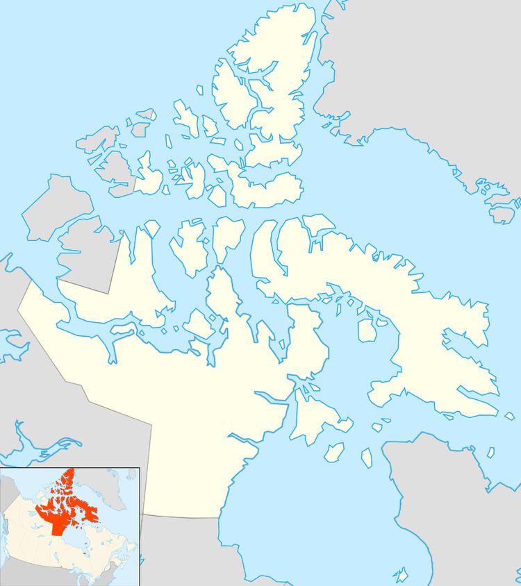
Map of Sillem Island, Baffin, Unorganized, NU, Canada
Geography
Sillem Island has an area of 482 km2 (186 sq mi). The highest peak of the island reaches 1,590 m (5,220 ft).
References
Sillem Island Wikipedia(Text) CC BY-SA