
Airport type Public 4/22 5,000 1,524 Asphalt | Elevation AMSL 615 ft / 187 m 5,000 1,524 Phone +1 919-742-3847 | |
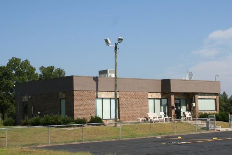 | ||
Address 80 Aviation Dr, Siler City, NC 27344, USA Similar Finance Departme, Cardinal Air, Building Inspector, Siler City Elementary School, Jordan‑M High School | ||
Flying to siler city municipal airport 5w8 cessna 152
Siler City Municipal Airport (ICAO: KSCR, FAA LID: SCR) is a public use airport located three nautical miles (6 km) southwest of the central business district of Siler City, a town in Chatham County, North Carolina, United States. It is owned by the Town of Siler City. This airport is included in the National Plan of Integrated Airport Systems for 2011–2015, which categorized it as a general aviation facility.
Contents
Facilities and aircraft
Siler City Municipal Airport covers an area of 92 acres (37 ha) at an elevation of 615 feet (187 m) above mean sea level. It has one runway designated 4/22 with an asphalt surface measuring 5,000 by 75 feet (1,524 x 23 m).
For the 12-month period ending August 6, 2009, the airport had 21,500 aircraft operations, an average of 58 per day: 95% general aviation and 5% military. At that time there were 24 aircraft based at this airport: 79% single-engine and 21% multi-engine.