
Canton Argueil Area 17.87 km² Local time Tuesday 4:26 PM | Region Normandy Population 559 (1999) | |
 | ||
Weather 11°C, Wind W at 16 km/h, 46% Humidity | ||
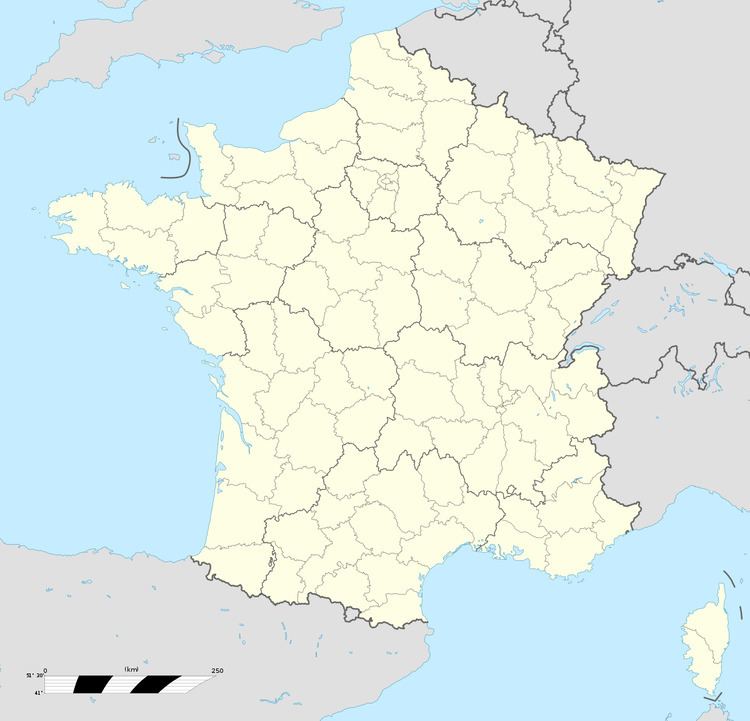
Sigy-en-Bray is a commune in the Seine-Maritime department in the Haute-Normandie region in northern France.
Contents
Map of 76780 Sigy-en-Bray, France
Geography
A farming commune comprising several villages and hamlets covering a large area of land (27 km²). It is found in the valley of the Andelle river in the Pays de Bray, some 19 miles (31 km) northeast of Rouen, at the junction of the D13, D41 and D8 roads.
Places of interest
References
Sigy-en-Bray Wikipedia(Text) CC BY-SA