
Basin size 740 km (290 sq mi) Discharge 7.2 m³/s | Length 57 km Basin area 740 km² Mouth Seine | |
 | ||
Main source Serqueux201 m (659 ft) | ||
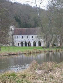
The Andelle is a river of Normandy, France, 56.8 kilometres (35.3 mi) in length, flowing through the departments of Seine-Maritime and Eure.
Contents
Map of L'Andelle, Fleury-sur-Andelle, France
Geography
The Andelle has its source in the Pays de Bray in the territory of the commune of Serqueux. Taking a southward journey, it flows through two French départements:
The average flow of the Andelle at Pitres, where it joins the Seine, is 7,2 m³ / second. .
References
Andelle Wikipedia(Text) CC BY-SA