
Topo map USGS Signal Peak Prominence 1,367 m | Elevation 3,159 m | |
 | ||
Similar Delano Peak, Mount Ellen, Twin Peaks (American Fork), Abajo Peak, Brian Head Peak | ||
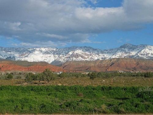
Signal Peak, with an elevation of 10,369 feet (3,160 m), is the highest peak in the Pine Valley Mountains and in Washington County in southwestern Utah, United States. Signal Peak is located north of the city of St. George and south of the community of Pine Valley in the Dixie National Forest. The summit is the highest point in the Pine Valley Mountain Wilderness.
Map of Signal Peak, Utah 84781, USA
Signal Peak is in the watershed of tributaries of the Virgin River, which itself is a tributary of the Colorado River.
A trail to the top can be found at oak grove campground in the neighboring city of Leeds, Utah.
References
Signal Peak (Utah) Wikipedia(Text) CC BY-SA