
Area code(s) 530 Elevation 1,511 m Population 200 (2010) | Time zone Pacific (PST) (UTC-8) GNIS feature IDs 1660231; 2583141 Zip code 96126 Local time Tuesday 3:54 AM | |
 | ||
Weather 6°C, Wind S at 19 km/h, 83% Humidity | ||
Sierraville is a census-designated place in Sierra County, California, United States. It is at the southern end of the huge Sierra Valley which is used primarily as pasture and is also at the junction of California State Route 49 and California State Route 89 southwest of Loyalton. Sierraville has a post office with ZIP code 96126. The post office opened under the name Sierra Valley in 1862 and became known as the Sierraville post office in 1899. The population was 200 as of the 2010 census.
Contents
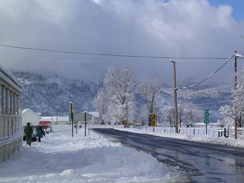
Map of Sierraville, CA 96126, USA
It is the site of the only traffic signal (a flashing red light) in Sierra County. In the winter of 2007 it was removed after an automobile accident and was replaced in the fall of 2008.
Geography
According to the United States Census Bureau, the CDP covers an area of 5.0 square miles (13.0 km²), 99.98% of it land and 0.02% of it water.
Climate
This region experiences warm (but not hot) and dry summers, with no average monthly temperatures above 71.6 °F. According to the Köppen Climate Classification system, Sierraville has a warm-summer Mediterranean climate, abbreviated "Csb" on climate maps.
Demographics
The 2010 United States Census reported that Sierraville had a population of 200. The population density was 39.8 people per square mile (15.4/km²). The racial makeup of Sierraville was 187 (93.5%) White, 2 (1.0%) African American, 0 (0.0%) Native American, 0 (0.0%) Asian, 0 (0.0%) Pacific Islander, 10 (5.0%) from other races, and 1 (0.5%) from two or more races. Hispanic or Latino of any race were 16 persons (8.0%).
The Census reported that 200 people (100% of the population) lived in households, 0 (0%) lived in non-institutionalized group quarters, and 0 (0%) were institutionalized.
There were 95 households, out of which 13 (13.7%) had children under the age of 18 living in them, 50 (52.6%) were opposite-sex married couples living together, 5 (5.3%) had a female householder with no husband present, 4 (4.2%) had a male householder with no wife present. There were 9 (9.5%) unmarried opposite-sex partnerships, and 0 (0%) same-sex married couples or partnerships. 26 households (27.4%) were made up of individuals and 7 (7.4%) had someone living alone who was 65 years of age or older. The average household size was 2.11. There were 59 families (62.1% of all households); the average family size was 2.51.
The population was spread out with 21 people (10.5%) under the age of 18, 12 people (6.0%) aged 18 to 24, 33 people (16.5%) aged 25 to 44, 89 people (44.5%) aged 45 to 64, and 45 people (22.5%) who were 65 years of age or older. The median age was 52.6 years. For every 100 females there were 117.4 males. For every 100 females age 18 and over, there were 113.1 males.
There were 136 housing units at an average density of 27.1 per square mile (10.5/km²), of which 68 (71.6%) were owner-occupied, and 27 (28.4%) were occupied by renters. The homeowner vacancy rate was 1.4%; the rental vacancy rate was 12.9%. 144 people (72.0% of the population) lived in owner-occupied housing units and 56 people (28.0%) lived in rental housing units.
Politics
In the state legislature, Sierraville is in the 1st Senate District, represented by Republican Ted Gaines, and the 1st Assembly District, represented by Republican Brian Dahle.
Federally, Sierraville is in California's 1st congressional district, represented by Republican Doug LaMalfa.