Elevation 636 m (2,087 ft) Type of rock Karst | Area 2,029 km² | |
 | ||
Sierra del lacand n national park pet n guatemala central america north america
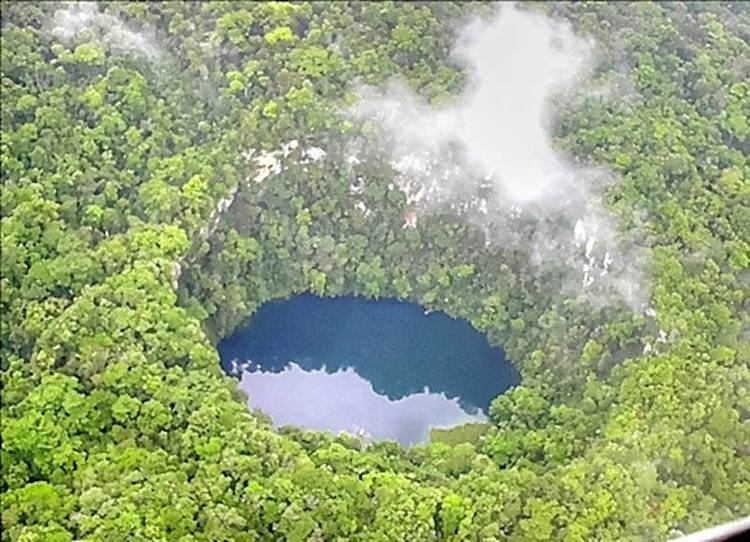
The Sierra del Lacandón is a low karstic mountain range in Guatemala and Mexico. It is situated in the north-west of the department of El Petén and the south-east of Chiapas. Its highest points are located near the Mexican border at coordinates 17.244195°N 91.202145°W / 17.244195; -91.202145 and 17.195087°N 91.086102°W / 17.195087; -91.086102 The range consists of southeast to northwest trending ridges of folded cretaceous limestone and dolomite hills rising above the lowlands of the Petén Basin.
Contents
- Sierra del lacand n national park pet n guatemala central america north america
- Sierra del Lacandn National Park
- References
Sierra del Lacandón National Park
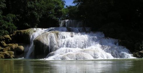
The Sierra del Lacandón National Park is situated in the tropical rain forest in the north west of Guatemala. It is part of the Maya Biosphere Reserve and is unique for its biodiversity. It is also considered of great importance for the Mesoamerican Biological Corridor as it connects the protected areas of northern Guatemala with those of southern Mexico, like the Montes Azules Biosphere Reserve in Chiapas.
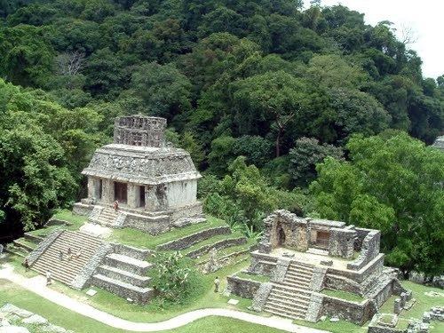
Several ancient Maya archaeological sites are located within the park boundaries. These include Piedras Negras, El Porvenir, Macabilero, La Pasadita, El Hormiguero, and El Ceibo.