
Peak Cerro de la Giganta | Elevation 3,858 ft (1,176 m) | |
 | ||
Similar Misión San Francisco Javier de, Misión de Nuestra Señora d, Parque nacional Bahía de, Sierra de la Laguna, Museo de las Misiones | ||
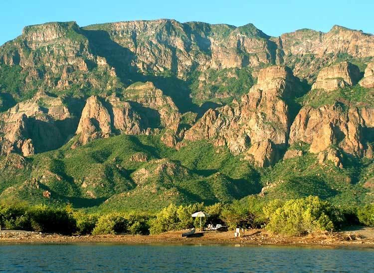
The Sierra de la Giganta is a mountain range of eastern Baja California Sur state, located on the southern Baja California Peninsula in northwestern Mexico.
Contents
Map of Sierra de la Giganta, Baja California Sur, Mexico
It is a mountain range of the Peninsular Ranges System, which extends 1,500 km (930 mi) from Southern California, through the Baja California Peninsula in Baja California and Baja California Sur states.
Geography
The Sierra de la Giganta extends along the southeastern Baja California Peninsula, parallel and close to the coast of the Gulf of California—Sea of Cortez. The highest point is Cerro de la Giganta at 3,858 feet (1,176 m) in elevation, located near Loreto
The range runs from Loreto in Loreto Municipality west of Loreto, southwards to La Paz Municipality northwest of La Paz.
The xeric flora found in the Sierra de la Giganta is of the Baja California Desert ecoregion, of the Deserts and xeric shrublands Biome.