
Elevation 1,100 m (3,600 ft) | Width 13 km (8.1 mi) Age of rock Mesozoic | |
 | ||
Length 55 km (34 mi) south-west to north-east Similar Sierra del Mico, Sierra del Merendón, Castillo de San Felipe de Lara, Dulce River, Volcán Tajumulco | ||
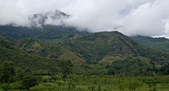
The Sierra de Santa Cruz is a small mountain range in eastern Guatemala. It is situated north of Lake Izabal, in the department of Izabal. The mountain range has a south-west to north-east orientation, and is approximately 55 km long and 13 km wide. Its highest peaks have an altitude of approximately 1100 m (15.68122°N 89.32692°W / 15.68122; -89.32692).
Map of Sierra de Santa Cruz, Guatemala
References
Sierra de Santa Cruz (Guatemala) Wikipedia(Text) CC BY-SA