
Primary inflows Max. depth 18 m (59 ft) Outflow location Dulce River | Primary outflows Río Dulce Surface area 589.6 km (227.6 sq mi) Area 589.6 km² | |
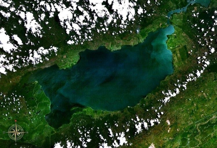 | ||
Lake Izabal ([isaˈβal]), also known as the Golfo Dulce, is the largest lake in Guatemala with a surface area of 589.6 km² (145,693 acres or 227.6 sq mi) and a maximum depth is 18 m (59 ft). The Polochic River is the largest river that drains into the lake. The lake which is only a metre above sea level drains into the Gulf of Honduras of the Caribbean Sea through the smaller Golfete Dulce which is at sea level and the navigable Rio Dulce.
Map of Lake Izabal, Guatemala
The well preserved colonial Castillo de San Felipe de Lara guarded this lake against pirate attacks, and there are some ancient sunken ships nearby. It is home to several species including the manatee, jaguar, spider monkey and howler monkey, and is a popular place for birdwatching.
References
Lake Izabal Wikipedia(Text) CC BY-SA