- elevation 1,735 m (5,692 ft) Mountains Peña de Francia | Area 628.4 km² | |
 | ||
Similar Peña de Francia, Santuario de Nuestra Señora d, Sierra de Béjar ‑ La Covatilla, Arribes del Duero Natural P, Sierra de Gredos | ||
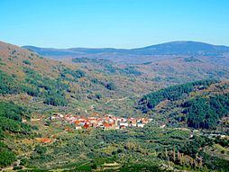
Miranda del casta ar in the heart of sierra de francia mountains
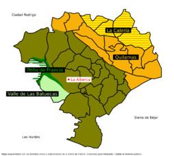
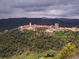
The Sierra de Francia is a mountain range and a comarca surrounding it located at the southern end of province of Salamanca, Castile and León, Spain. It is located about 70 km from Salamanca city. It borders with the Las Hurdes and Las Batuecas comarcas of Extremadura to the south; the Campo Charro to the north and the Sierra de Béjar to the east. The region is sparsely inhabited and its few towns have great cultural value.
Contents
- Miranda del casta ar in the heart of sierra de francia mountains
- Geography
- Municipal terms and villages
- References
Most of the Sierra de Francia's territory, together with the valley of Las Batuecas was declared Las Batuecas-Sierra de Francia Natural Park in 1978. together with neighboring Sierra de Béjar it constitutes a Biosphere Reserve. Some of the towns of the comarca have been officially declared Conjunto Histórico-Artístico owing to their cultural and architectural value.
Geography
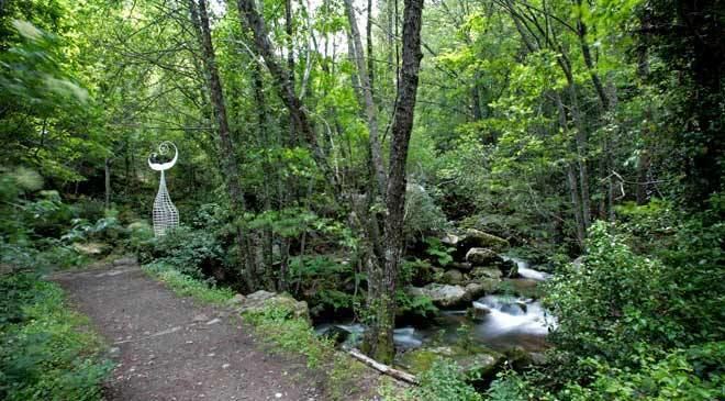
The Sierra de Francia is one of the mountain ranges belonging to the Sistema Central. Its forested mountain slopes (alder, oak, pine and ash) rise over the Northern Castilian Plateau, marking the geographical limit of its southwestern plains (Llanura Salmantina). From its southern side this mountain chain marks the northern limit of Las Hurdes, the legendary Extremaduran comarca.
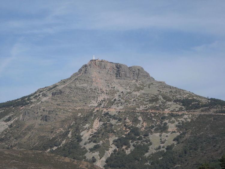
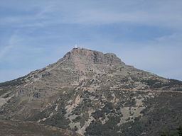
The Sierra de Francia consists of a quite regular succession of peaks of moderate height, of which the Pico de La Hastiala (1.735 m) is the highest. At the top of the Peña de Francia (1723 m) stands one of the highest Virgin Mary shrines of the world, as well as a RTVE antenna. Other summits worth mentioning are the Mesa del Francés (1.638 m) and the Pico Robledo (1.614 m). All these peaks are usually covered with snow in the winter season.
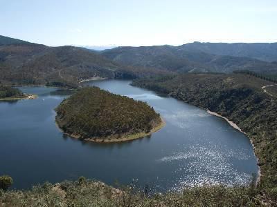
Among the rivers that cut valleys in the sierra, the most famous is the Río Francia, which gives the mountain chain its name, as well as the Alagón.
Municipal terms and villages