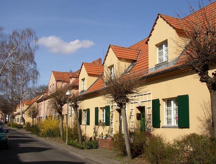
Elevation 35 m (115 ft) Area 5.66 km² | State Berlin Founded 1913 Time zone CET/CEST (UTC+1/+2) Local time Tuesday 9:53 AM Team SC Siemensstadt Rugby | |
 | ||
Weather 10°C, Wind W at 13 km/h, 86% Humidity Points of interest Spree, Old Texas Town, Bahnhof Wernerwerk, Bahnhof Gartenfeld, Stellwerk Gartenfeld | ||
Siemensstadt is a locality (Ortsteil) of Berlin in the district (Bezirk) of Spandau.
Contents
Map of Siemensstadt, Berlin, Germany
History
The locality emerged when the company Siemens & Halske (S & H), one of the predecessors of today's Siemens AG, bought land in the area, in order to expand production of S & H and their subsidiary Siemens-Schuckertwerke (SSW) as well. On the initiative of Georg Wilhelm von Siemens S & H started to build new factories in 1899. Soon also residential buildings were erected. The locality was incorporated into Berlin on 1 October 1920 by the Greater Berlin Act.
Geography
Siemensstadt is situated in the eastern side of Spandau district. It borders with Spandau (locality), Haselhorst, Tegel (in Reinickendorf), Charlottenburg-Nord and Westend (both in Charlottenburg-Wilmersdorf). The Großsiedlung Siemensstadt is situated close to Siemensstadt but in Charlottenburg-Nord.
Transportation
Siemensstadt is served by the Berliner U-Bahn line U7 at the stations of Paulsternstrasse, Rohrdamm and Siemensdamm.
