Airport type Public Elevation AMSL 4,313 ft / 1,315 m 6,600 2,012 Elevation 1,315 m | 13/31 6,600 Code SNY | |
 | ||
Owner Sidney Airport Authority | ||
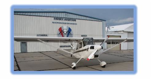
Sidney Municipal Airport (IATA: SNY, ICAO: KSNY, FAA LID: SNY) (Lloyd W. Carr Field) is three miles south of Sidney, in Cheyenne County, Nebraska. It is owned by the Sidney Airport Authority.
Facilities
The airport covers 732 acres (296 ha) at an elevation of 4,313 feet (1,315 m). It has two runways: 13/31 is 6,600 x 100 ft (2,012 x 30 m) concrete and 3/21 is 4,700 x 75 ft (1,433 x 23 m) turf.
In the year ending August 1, 2006 the airport had 11,475 aircraft operations, average 31 per day: 90% general aviation, 8% air taxi and 3% military. 32 aircraft were then based at the airport: 88% single-engine, 6% jet, 3% helicopter and 3% ultralight.
References
Sidney Municipal Airport (Nebraska) Wikipedia(Text) CC BY-SA
