Phone +66 81 153 1503 | Area 1,406 km² Established August 1989 | |
 | ||
Address Mae Taeng District, Chiang Mai, Thailand Hours Closed today SundayClosedMonday8AM–5PMTuesday8AM–5PMWednesday8AM–5PMThursday(Chakri Memorial Day)8AM–5PMHours might differFriday8AM–5PMSaturday8AM–5PMSuggest an edit | ||
Si Lanna National Park (Thai: อุทยานแห่งชาติศรีลานนา) is a national park in Chiang Mai Province, Thailand. Home to waterfalls, caves and springs, this mountainous park is the source of numerous tributaries of the Ping River.
Contents
Geography
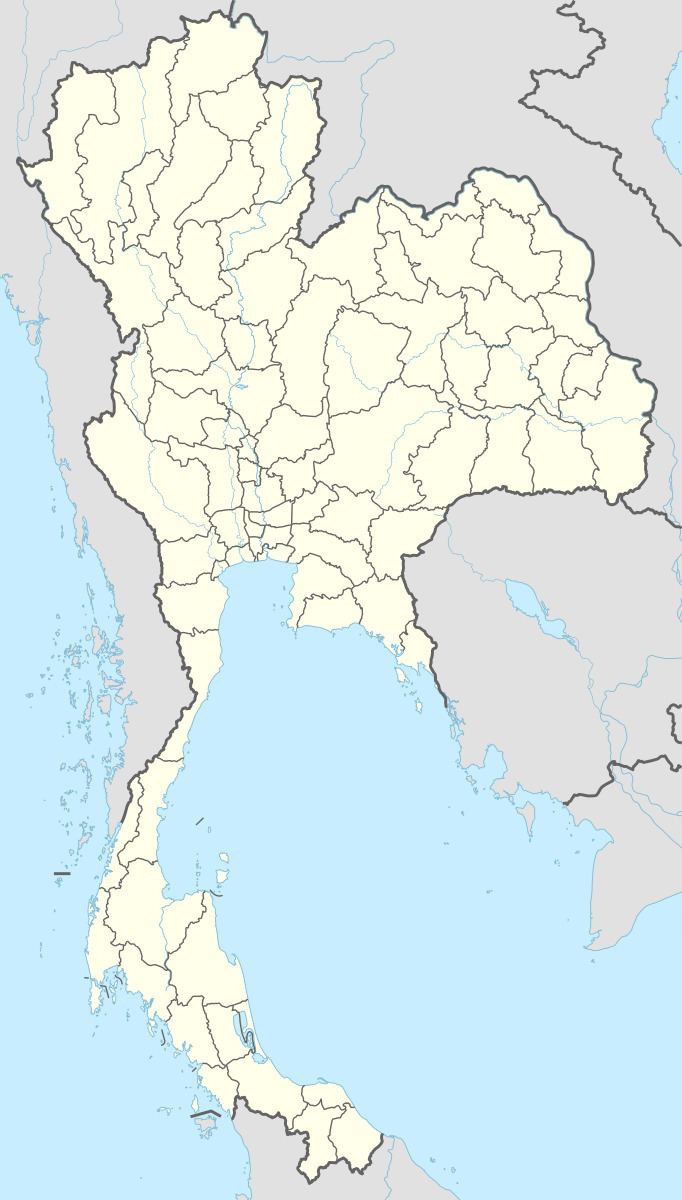
Si Lanna National Park is located about 65 kilometres (40 mi) north of Chiang Mai in Mae Taeng, Chiang Dao and Phrao districts. The park's area is 1,406 square kilometres (543 sq mi). The highest point is Doi Chom Hot peak at 1,718 metres (5,636 ft). The 20 km2 (7.7 sq mi) Mae Ngat Somboon Chon Reservoir lies within the park.
History
On 1 August 1989, Si Lanna was designated Thailand's 60th National Park.
Attractions
Mon Hin Lai Waterfall is a nine-tiered waterfall 104 metres (341 ft) in height, located in the Mae Ngat Forest. Jedsi ("rainbow") Spring is a cold water spring where dissolved calcium gives the waters a rainbow effect in sunlight. The spring's waters run on to become the three-tier Boutong waterfall. Other waterfalls include Huai Nang Lae, Huai Mae Rangong and Huai Pa Phlu. The Nong Pha cave system features stalactites and stalagmites.
Flora and fauna
The park's rugged terrain features numerous forest types: mixed deciduous, moist evergreen, hill evergreen and dipterocarp. Tree species include Anisoptera costata (krabak), teak, Toona ciliata, Hopea odorata, Xylia kerrii, Shorea obtusa and Shorea siamensis.
Animal species include tiger, serow, barking deer and wild boar.
