
Elevation 234 m (768 ft) Area 4,554 km² Local time Sunday 7:52 PM | City Seat Baiqi (白旗镇) Time zone China Standard (UTC+8) | |
 | ||
Country People's Republic of China Weather 7°C, Wind W at 11 km/h, 39% Humidity Points of interest Sulaoshi Children Happy World, Lantau Peak, Datudingzi Mountain | ||
Shulan (simplified Chinese: 舒兰; traditional Chinese: 舒蘭; pinyin: Shūlán) is a city in northern Jilin province, Northeast China. It falls under the administration of Jilin City, 71 kilometres (44 mi) to the south-southwest.
Contents
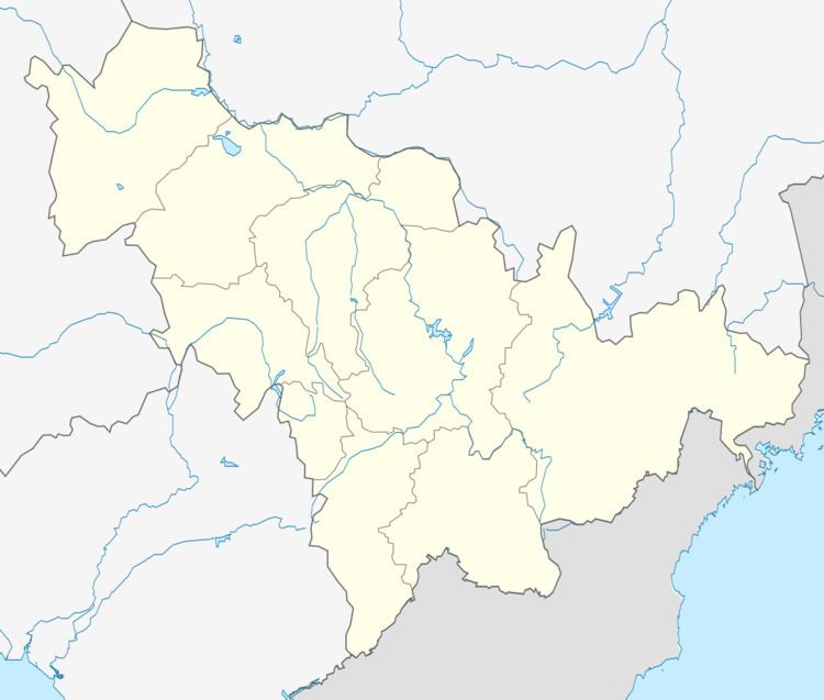
Map of Shulan, Jilin, China
History
Shulan's historical sites include the tombs of Wanyan Xiyin, the erstwhile "Chief Shaman" of the Jurchens and, later, the chief minister of the early Jin Empire, and his family members. Since 1961, they have been listed on the provincial register of the protected historical sites.
During the Qing Dynasty, the so-called Outer Willow Palisade, separating the Mongolian and Manchurian lands to the west and east respectively, ended near the town of Fate (法特) within today's Shulan.
Administrative Divisions
Subdistricts:
Towns:
Townships:
References
Shulan Wikipedia(Text) CC BY-SA