
- min 59 cu ft/s (2 m/s) Discharge 29.36 m³/s | - average 1,037 cu ft/s (29 m/s) Length 161 km Basin area 7,741 km² Mouth Bighorn River | |
 | ||
- max 17,300 cu ft/s (490 m/s) Bridges EJZ Bridge over Shoshone River | ||
Fly fishing the shoshone river southfork outside of cody wy v2 filmed w sony fdr ax 33
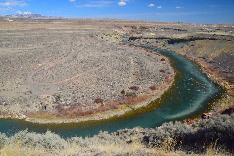
The Shoshone River is a 100-mile (160 km) long river in northern Wyoming in the United States. Its headwaters are in the Absaroka Range in Shoshone National Forest. It ends when it runs into the Big Horn River near Lovell, Wyoming. Cities it runs near or through are Cody, Powell, Byron, and Lovell. Near Cody, it runs through a volcanically active region of fumaroles known as Colter's Hell. This contributed to the river being named on old maps of Wyoming as the Stinking Water River.
Contents
- Fly fishing the shoshone river southfork outside of cody wy v2 filmed w sony fdr ax 33
- Map of Shoshone River Wyoming USA
- Shoshone river and canyon viewpoint with rodeo cody wyoming
- References
Map of Shoshone River, Wyoming, USA
The current name was established in 1901 due to popular demand.
West of Cody the river is impounded in Shoshone Canyon by the Buffalo Bill Dam, created as part of the Shoshone project; one of the nation's first water conservation projects. A number of hot springs along the Shoshone were drowned by the reservoir. Upstream of Buffalo Bill Reservoir the Shoshone splits into the North Fork, which follows a long canyon down from the Absaroka Mountains to the vicinity of the east entrance of Yellowstone National Park, and the South Fork, which originates at the southern end of the Absarokas.