
Population 1,084 (2011) Sovereign state United Kingdom Local time Sunday 1:29 AM UK parliament constituency Dover | OS grid reference TR355525 Post town DEAL Dialling code 01304 | |
 | ||
Weather 8°C, Wind SW at 16 km/h, 93% Humidity | ||
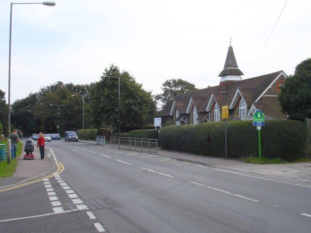
Sholden is a quiet village near Deal towards Sandwich in Kent, South East England.
Contents
Map of Sholden, Deal, UK
It has previously be known as 'Soldone' and 'Scholdon'.
It has a Grade II* listed church, St Nicholas, which is in the diocese of Canterbury, and deanry of Sandwich. It also has a school, a cricket field and one public house, 'The Sportsman'.
It is also the starting point of Miner's Way Trail. Linking up the coalfield parishes of East Kent.
Governance
Sholden is part of the electoral ward called Middle Deal and Sholden. The population of this ward at the 2011 Census was 7,414.
References
Sholden Wikipedia(Text) CC BY-SA