
Area 182,156 km² State electorate(s) Kalgoorlie Mayor John Kyanga Population 1,279 (2013 est) | Region Mid West Federal division Division of Durack | |
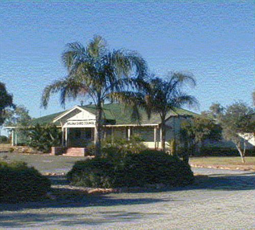 | ||
The Shire of Wiluna is a local government area in the Mid West region of Western Australia, about 950 kilometres (590 mi) northeast of the state capital, Perth. The Shire covers an area of 182,155 square kilometres (70,330 sq mi), and its seat of government is the town of Wiluna.
Contents
Map of Wiluna, WA 6646, Australia
History
The Wiluna Road Board was gazetted in 1909. On 1 July 1961, it became a shire following changes to the Local Government Act. On 1 July 1993, the eastern half of the Shire abutting the State's border with the Northern Territory was incorporated as the Shire of Ngaanyatjarraku.
The shire is predominantly mining and pastoral land. There are 27 pastoral leases within the shire; 15 of which are owned by families or pastoral companies, ten of which are owned by mining companies, two are owned by the Department of Environment and Conservation (DEC). Both of the stations that are owned by the DEC are destocked and run as nature reserved, many of the leases owned by mining companies have also been destocked.
Wards
The Shire is no longer divided into wards and the seven councillors sit at large.