
Population 5,762 (2015 est) Area 6,673 km² Mayor Cr David Wortmann Gazetted 18 November 1994 | Established 1994 Founded 1994 Council seat Tallangatta | |
 | ||
Points of interest Destinations Alpine National, Corryong, Tallangatta, Hume Dam, Mitta Mitta | ||
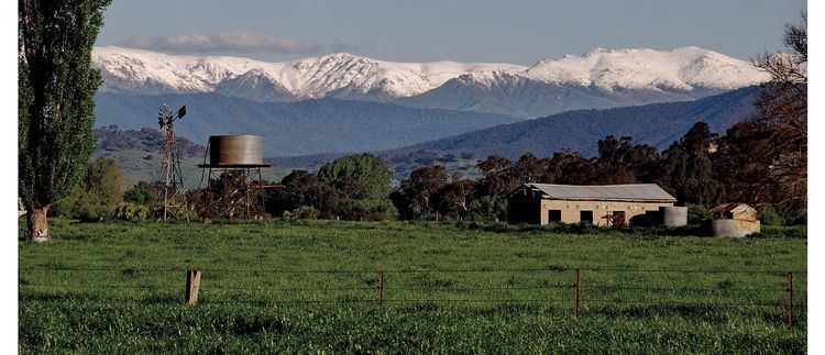
The Shire of Towong is a local government area in the Hume region of Victoria, Australia, located in the north-east part of the state. It covers an area of 6,673 square kilometres (2,576 sq mi) and, at the 2011 Census, had a population of 5,891. It includes the towns of Corryong and Tallangatta. It was formed in 1994 from the amalgamation of the Shire of Tallangatta and Shire of Upper Murray.
Contents
Map of Towong, VIC, Australia
The Shire is governed and administered by the Towong Shire Council; its seat of local government and administrative centre is located at the council headquarters in Tallangatta, it also has a service centre located in Corryong. The Shire is named after an earlier shire, the Shire of Towong (1874–1920), which occupied the same region as the current LGA.
Current composition
The council is composed of five councillors elected to represent an unsubdivided municipality.
Administration and governance
The council meets in the council chambers at the council headquarters in the Tallangatta Municipal Offices, which is also the location of the council's administrative activities. It also provides customer services at both its administrative centre in Tallangatta, and its service centre in Corryong.