
Population 16,359 (2011 census) Region Barwon South West Founded 1994 | Established 1994 Area 6,652 km² Mayor Cr Peter Dark (2014–2015) Gazetted 23 September 1994 | |
 | ||
Website Shire of Southern Grampians Points of interest Grampians National Park, Wannon Falls, Nigretta Falls, Hamilton Botanic Gardens, Byaduk Caves Destinations | ||
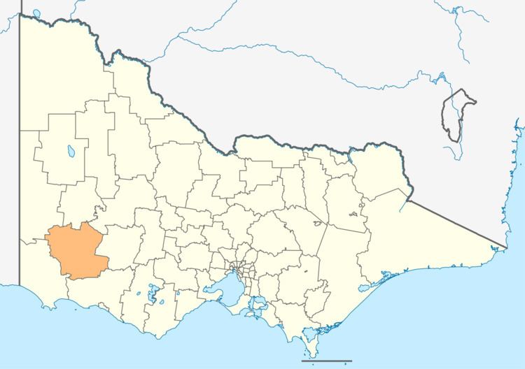
The Shire of Southern Grampians is a local government area (LGA) in the Barwon South West region of Victoria, Australia, located in the south-western part of the state. It covers an area of 6,652 square kilometres (2,568 sq mi) and, at the 2011 census, had a population of 16,359. It includes the towns of Coleraine, Hamilton, Dunkeld and Penshurst. It was formed in 1994 from the amalgamation of the City of Hamilton, Shire of Wannon and parts of the Shire of Dundas, Shire of Kowree, Shire of Mount Rouse and Shire of Heywood.
Contents
Map of Southern Grampians, VIC, Australia
The Shire is governed and administered by the Southern Grampians Shire Council; its seat of local government and administrative centre is located at the council headquarters in Hamilton, it also has service centres located in a couple of other locations within Hamilton. The Shire is named after the major geographical feature in the region, The Grampians, and that the southern part of this feature occupies the northern part of the LGA.
Current composition
The council is composed of seven councillors elected to represent an unsubdivided municipality.
Administration and governance
The council meets in the council chambers at the council headquarters in the Hamilton Municipal Offices, which is also the location of the council's administrative activities. It also provides customer services at both its administrative centre on Brown Street in Hamilton, and its service centres on Market Pl and Roberts St in Hamilton.