
Population 4,407 (2013 est) President Liz Guidera Area 1,518 km² | Established 1892 State electorate(s) Wagin Founded 1892 | |
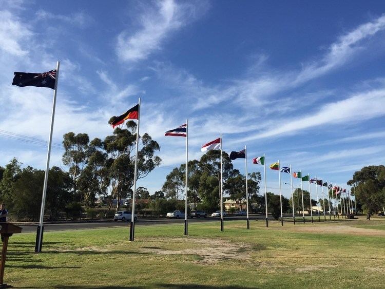 | ||
Shire of katanning 2
The Shire of Katanning is a local government area in the Great Southern region of Western Australia, about 170 kilometres (106 mi) north of Albany and about 290 kilometres (180 mi) southeast of the state capital, Perth. The Shire covers an area of 1,518 square kilometres (586 sq mi), and its seat of government is the town of Katanning.
Contents
- Shire of katanning 2
- Map of Katanning WA 6317 Australia
- Shire of katanning
- History
- Wards
- Towns and localities
- Notable councillors
- References
Map of Katanning, WA 6317, Australia
Shire of katanning
History
The Katanning Road Board was gazetted in 1892. On 1 July 1961, it became a Shire following changes to the Local Government Act.
Wards
In 1991, the Shire had not been divided into wards, with the 9 councillors sitting at large.
Towns and localities
Notable councillors
References
Shire of Katanning Wikipedia(Text) CC BY-SA