
Population 14,794 (2015 est) Region Western Victoria Website Shire of Hepburn Area 1,470 km² Mayor Cr Kate Redwood Gazetted 19 January 1995 | Established 1995 State electorate(s) Macedon
Ripon Shire of Hepburn Macedon Ranges Founded 1995 Council seat Daylesford Federal division Division of Ballarat | |
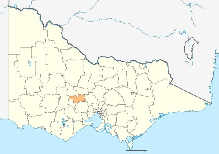 | ||
The Shire of Hepburn is a local government area in Victoria, Australia, located in the central part of the state. It covers an area of 1,470 square kilometres (570 sq mi) and, at the 2011 Census, had a population of 14,367. It includes the towns of Clunes, Creswick, Daylesford, Hepburn Springs and Trentham and the villages of Glenlyon, Allendale, Kingston, Leonard's Hill, Lyonville, Newlyn, Denver and Smeaton.
Contents
Map of Hepburn VIC 3461, Australia
It was formed in 1995 from the amalgamation of the Shire of Creswick, Shire of Daylesford and Glenlyon and parts of the Shire of Kyneton and Shire of Talbot and Clunes.
The Shire is governed and administered by the Hepburn Shire Council; its seat of local government and administrative centre is located at the council headquarters in Daylesford, it also has a service centre located in Creswick. The Shire is named after an early squatter named John Hepburn, who established the Smeaton Hill pastoral run, which was located a few kilometres north of present-day Creswick.
Current composition
The council is composed of five wards and seven councillors, with two councillors per ward elected to represent each of the Creswick and Birch wards, and one councillor per remaining ward elected to represent each of the other wards.
Administration and governance
The council meets in the council chambers at the council headquarters in the Daylesford Municipal Offices, which is also the location of the council's administrative activities. It also provides customer services at both its administrative centre in Daylesford, and its service centre in Creswick.