
Population 5,886 (2015 est) President David Morrell State electorate(s) Blackwood-Stirling Area 1,860 km² | Established 1911 Founded 1911 | |
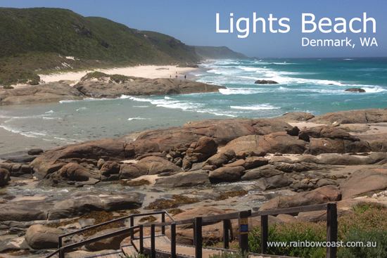 | ||
Points of interest Valley of the Giants Tree Top, Greens Pool, Elephant Rocks, William Bay National, Elephant Cove Destinations Denmark, William Bay National, Walpole‑Nornalup National Park, Peaceful Bay, Nornalup - Western Australia | ||
The Shire of Denmark is a local government area in the Great Southern region of Western Australia, about 55 kilometres (34 mi) west of Albany and about 420 kilometres (261 mi) south-southeast of the state capital, Perth. The Shire of Denmark covers an area of 1,860 square kilometres (718 sq mi), and its seat of government is located in the townsite and locality of Denmark.
Contents
Map of Denmark, WA, Australia
History
The Denmark Road District was gazetted in 1911. On 1 July 1961, the district became a shire following the passing of the Local Government Act 1960.
Wards
The Shire of Denmark is divided into three wards with a varying number of councillors:
Townsites
Localities
References
Shire of Denmark Wikipedia(Text) CC BY-SA