
Country United States GNIS feature ID 0429066 Area 93.99 km² Local time Saturday 3:05 AM | Time zone CST (UTC-6) Elevation 162 m Population 909 (2010) | |
 | ||
ZIP codes 62801, 62830, 62877, 62893, 62898 Weather 9°C, Wind NW at 14 km/h, 62% Humidity | ||
Grand Prairie Township is one of sixteen townships in Jefferson County, Illinois, USA. As of the 2010 census, its population was 909 and it contained 391 housing units.
Contents
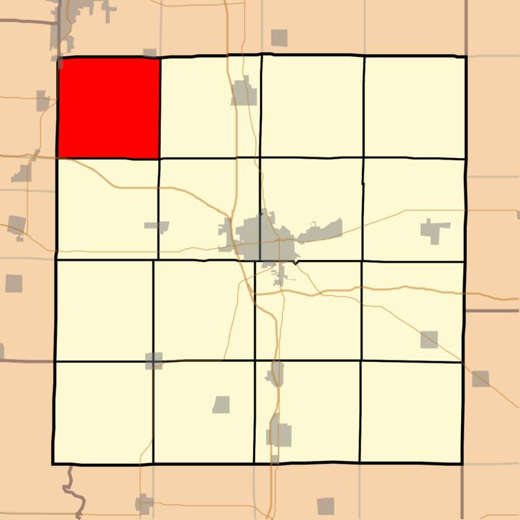
- Map of Grand Prairie Township IL USA
- Geography
- Cities towns villages
- Unincorporated towns
- Adjacent townships
- Cemeteries
- Major highways
- Airports and landing strips
- Lakes
- Political districts
- References
Map of Grand Prairie Township, IL, USA
Geography
According to the 2010 census, the township (T1S R1E) has a total area of 36.29 square miles (94.0 km2), of which 36.18 square miles (93.7 km2) (or 99.70%) is land and 0.11 square miles (0.28 km2) (or 0.30%) is water.
Cities, towns, villages
Unincorporated towns
(This list is based on USGS data and may include former settlements.)
Adjacent townships
Cemeteries
The township contains these four cemeteries: Fouts, Gaston, Gilead and Piskey.
Major highways
Airports and landing strips
Lakes
Political districts
References
Grand Prairie Township, Jefferson County, Illinois Wikipedia(Text) CC BY-SA