
 | ||
Mountains Laurel Mountain, Red Slate Mountain | ||
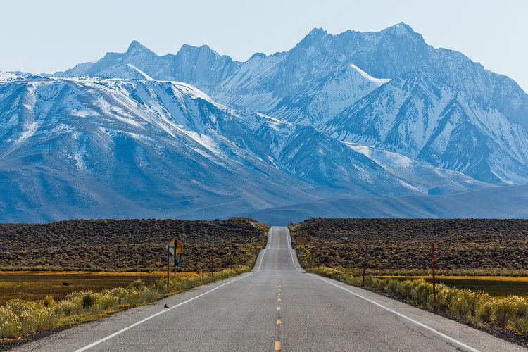
Sherwin range california with solo and go pro
The Sherwin Range is a mountain range that is a sub-range of the Sierra Nevada system, in Mono County, eastern California. The range is also known locally as The Sherwins.
Contents
- Sherwin range california with solo and go pro
- Geography
- Recreation
- Geology
- Prominent peaks
- Other features
- References
Geography
The Sherwin Range is immediately to the south of the Long Valley Caldera, and stretches from just south of the town of Mammoth Lakes. to the Wheeler Crest of the Sierra Nevada. The range lies to the south of the Long Valley Caldera.
The range is named after Jim Sherwin, a prospector who operated the first toll road across the Sierra. Its eastern terminus was at Mammoth Lakes.
Recreation
The Sherwin Range is within Inyo National Forest. It is well known for hiking opportunities in the summer, and backcountry skiing in the winter.
Geology
The range largely consists of reddish metamorphic rock, which are the roof pendant for the Sierra Nevada. This rock was formed in the Paleozoic Era, and then was subsequently recrystallized and warped by the intrusion of the Sierra Nevada batholith underneath it.