
Population 59 Civil parish Shernborne Area 5.63 km² | OS grid reference TF713324 Sovereign state United Kingdom | |
 | ||
District | ||
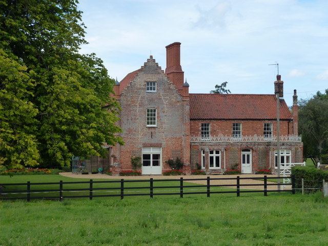
Shernborne is a civil parish in the English county of Norfolk. It covers an area of 5.63 km2 (2.17 sq mi) and had a population of 59 in 24 households at the 2001 census. The population remained less than 100 at the 2011 Census and is included in the civil parish of Ingoldisthorpe. For the purposes of local government, it falls within the district of King's Lynn and West Norfolk.
Map of Shernborne, UK
Together with the villages of West Newton, Flitcham, and Anmer, it is part of the Royal Sandringham Estate. The village club was shut by the Sandringham Estate and it now stands empty.
References
Shernborne Wikipedia(Text) CC BY-SA