Sneha Girap (Editor)

Sherkot

Updated on
Edit
Like
Comment
Share on FacebookTweet on TwitterShare on LinkedInShare on Reddit
Country
  
Languages spoken
  
Hindi, Urdu

State
  
District
  
Founded
  
SherShah Suri


Sherkot , Urdu: ?),(Hindi: , is a city and Municipal board in the Bijnor of the Indian state of Uttar Pradesh.

Contents

Map of Sherkot

River

Demographics

The Indian census of 2011 showed that Sherkot had a population of 62,226 with males constituting 52% and females 48%. Sherkot has an average literacy rate of 58%, lower than the national average of 74.09% with male literacy at 62% and female 53%. 16% of the population is under 6 years of age.

Villages on the Kalagarh Road (NH-74)

Further reading

History
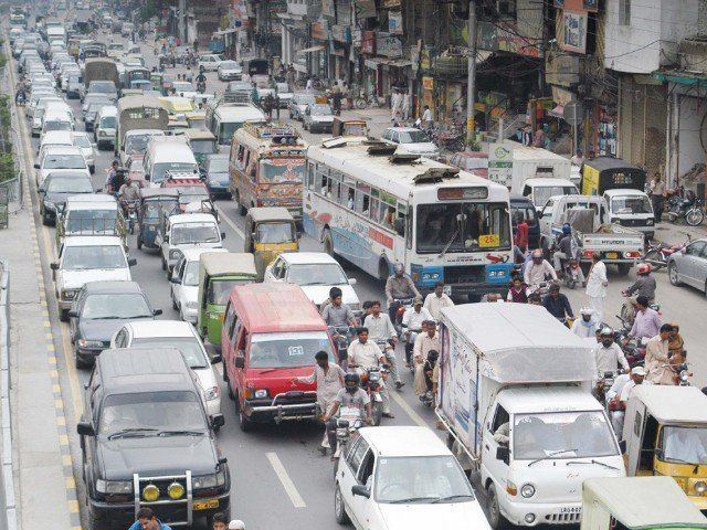
Sherkot in the past, History of Sherkot

Sherkot, was founded by Emperor Sher Shah Suri, an Afghan ruler of the Sur Dynasty,who ruled North India from 1540 AD to 1545 AD after defeating Humayun, a Mughal emperor. Under the reign of Akbar, it was the main town of the pargana region and was attacked in 1805 by Muhammad Amir Khan, a Pathan invader. Later, during the Indian Rebellion of 1857 it was the scene of battle between loyalists and rebels. The first Battle of Sherkot took place on 28 July 1857 and the second on 5 August.
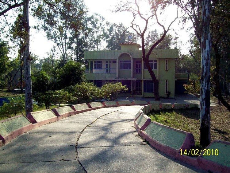
Sherkot in the past, History of Sherkot

Up to 1844, it was headquarters of the tehsil, or district and later became a part of the Dhampur tehsil. In 1901, it had a population of 14,999

Geography
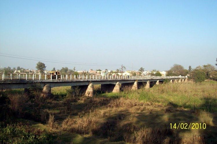
Sherkot Beautiful Landscapes of Sherkot

Sherkot is located at 29.35°N 78.58°E? / 29.35; 78.58. It has an average elevation of 203 metres (666 feet).

References

Sherkot Wikipedia (,)http://i1.tribune.com.pk/wp-content/uploads/2010/09/Peopel-640x480.jpg(,)http://static.panoramio.com/photos/large/32332127.jpg(,)http://www.khyber.org/publications/036-040/3.gif(,)http://mw2.google.com/mw-panoramio/photos/medium/32332121.jpg(,)http://i.ytimg.com/vi/-RJGtZpEUMA/hqdefault.jpg(,)http://i.ytimg.com/vi/7ifSJD4jcB8/0.jpg(,)http://i.ytimg.com/vi/VLtI7XyuM7o/0.jpg(,)http://3.bp.blogspot.com/_6MOISWIZVcU/TS2HXU2i8fI/AAAAAAAAAFk/QsKll6MsU-A/s1600/br_history.gif(,)http://i.ytimg.com/vi/-exyJN8yNyU/hqdefault.jpg(,)http://indiatomorrow.net/userfiles/NCM%2520Resolution.JPG(,)http://i.ytimg.com/vi/7D6mKkSZUAM/0.jpg(,)http://i.ytimg.com/vi/wwdYuSEHtIw/0.jpg(,)http://i.ytimg.com/vi/SihQblXReAw/0.jpg(,)http://i.ytimg.com/vi/B2vn_HycoTI/maxresdefault.jpg(,)http://static.panoramio.com/photos/large/32332129.jpg(,)http://maps.maphill.com/atlas/29n15-78e15/panoramic-maps/physical-map/physical-panoramic-map-of-29n15-78e15.jpg(,)http://maps.maphill.com/atlas/29n15-78e15/panoramic-maps/shaded-relief-map/shaded-relief-panoramic-map-of-29n15-78e15.jpg(,)http://maps.maphill.com/atlas/29n15-78e15/location-maps/gray-map/gray-location-map-of-29n15-78e15.jpg(,)http://maps.maphill.com/atlas/29n15-78e15/location-maps/satellite-map/satellite-location-map-of-29n15-78e15.jpg(,)https://mw2.google.com/mw-panoramio/photos/medium/64935450.jpg(,)http://mw2.google.com/mw-panoramio/photos/medium/32332154.jpg(,)http://i.ytimg.com/vi/9wjV5AFyTik/0.jpg(,)http://i.ytimg.com/vi/fdqVHCxXXfo/0.jpg(,)http://i.ytimg.com/vi/ptAexmgGcJE/0.jpg(,)http://i.ytimg.com/vi/6Q1q449s7k8/0.jpg(,)http://images.topix.com/gallery/up-RQFEU32TKK9DJ3L2.jpg(,)http://images.topix.com/gallery/up-U09IDR2VG37RMKKI.jpg(,)http://images.topix.com/gallery/up-KF5FOM8VQF2KDRN4.jpg(,)http://images.topix.com/gallery/up-436QF9EQ52PVIC77.jpg(,)http://images.topix.com/gallery/up-PMCP3PVSM3N0RSNA.jpg(,)http://images.topix.com/gallery/up-U0FIQAJO04Q5O4G8.jpg(,)http://images.topix.com/gallery/up-CQTM3UEHJ4VEH54Q.jpg(,)http://mw2.google.com/mw-panoramio/photos/medium/35338164.jpg(,)http://i.ytimg.com/vi/BrLVNb6JGc0/hqdefault.jpg(,)http://mw2.google.com/mw-panoramio/photos/medium/32332129.jpg