
Primary outflows Sherbrooke Creek Settlements None | Primary inflows | |
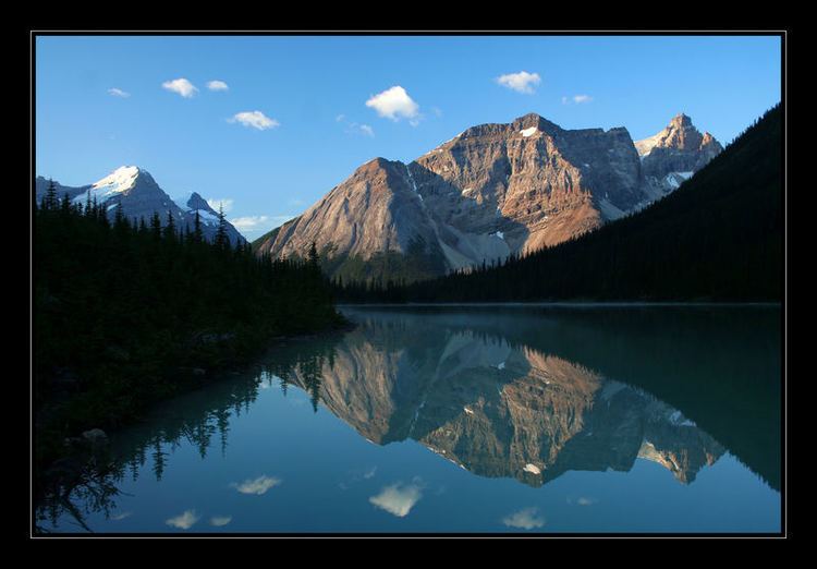 | ||
Sherbrooke Lake is a lake in Yoho National Park, British Columbia, Canada. The lake is bounded on the west by Mount Ogden 2,695 m (8,842 ft), Mount Niles 2,972 m (9,751 ft) to the north, and Paget Peak on the east side. The lake can be reached by following a three km hiking trail that begins from the Trans-Canada Highway across from Wapta Lake.
Map of Sherbrooke Lake, Columbia-Shuswap A, BC, Canada
Sherbrooke Lake also serves as an access point for mountaineering access to the Waputik Icefield and the Scott Duncan Hut.
References
Sherbrooke Lake (British Columbia) Wikipedia(Text) CC BY-SA