
Administrative center selo of Shelopugino Urban settlements 0 | Rural localities 25 Area 4,400 km² | |
 | ||
Municipally incorporated as | ||
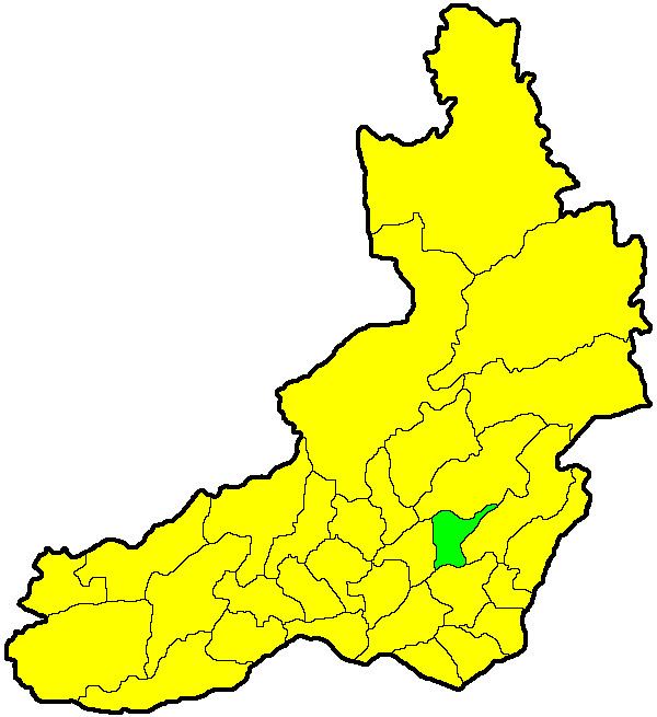
Shelopuginsky District (Russian: Шелопугинский райо́н) is an administrative and municipal district (raion), one of the thirty-one in Zabaykalsky Krai, Russia. It is located in the center of the krai, and borders with Sretensky District in the north, Gazimuro-Zavodsky District in the east, Aleksandrovo-Zavodsky District in the south, and with Akshinsky District in the west. The area of the district is 3,900 square kilometers (1,500 sq mi). Its administrative center is the rural locality (a selo) of Shelopugino. Population: 8,369 (2010 Census); 9,773 (2002 Census); 13,124 (1989 Census). The population of Shelopugino accounts for 39.1% of the district's total population.
Contents
Map of Shelopuginskiy r-n, Zabaykalsky Krai, Russia
History
The district was established on August 24, 1961.
References
Shelopuginsky District Wikipedia(Text) CC BY-SA