Airport type Public use Elevation AMSL 1,120 ft / 341 m 18/36 3,174 Phone +1 419-347-1185 | Website ShelbyAirport.com 3,174 967 Serves Shelby | |
 | ||
Address 5085 Ohio 39, Shelby, OH 44875, USA Similar Shelby Community and Seni, Mansfield Lahm Regional, Galion Municipal Airport (K, Shelby High School | ||
Go around at shelby community airport 12g in my 67 piper cherokee 140 gopro hd
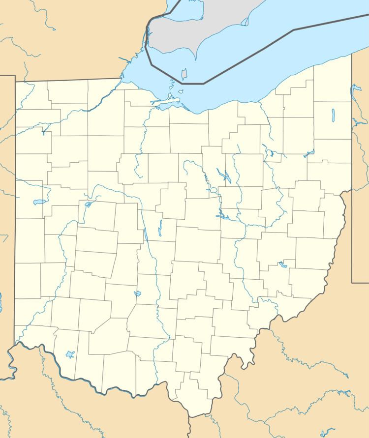
Shelby Community Airport (FAA LID: 12G) is a privately owned, public use airport located two nautical miles (4 km) west of the central business district of Shelby, in Richland County, Ohio, United States.
Contents
- Go around at shelby community airport 12g in my 67 piper cherokee 140 gopro hd
- Facilities and aircraft
- References
Facilities and aircraft
Shelby Community Airport covers an area of 50 acres (20 ha) at an elevation of 1,120 feet (341 m) above mean sea level. It has two runways: 18/36 is 3,174 by 50 feet (967 x 15 m) with an asphalt surface and 3/21 is 1,890 by 125 feet (576 x 38 m) with a turf surface.
For the 12-month period ending July 19, 2010, the airport had 2,012 aircraft operations, an average of 167 per month: 99% general aviation and 1% air taxi. At that time there were 12 aircraft based at this airport: 92% single-engine and 8% ultralight.
References
Shelby Community Airport Wikipedia(Text) CC BY-SA
