
Area 122 km² | ||
 | ||
Similar Parlee Beach Provincial, The World's Largest L, Giant Lobster, Hopewell Rocks, Joggins Fossil Cliffs | ||
Shediac Bay is a tidal embayment, an extension of the Northumberland Strait in New Brunswick, Canada.
Contents
Map of Shediac Bay, Shediac, NB, Canada
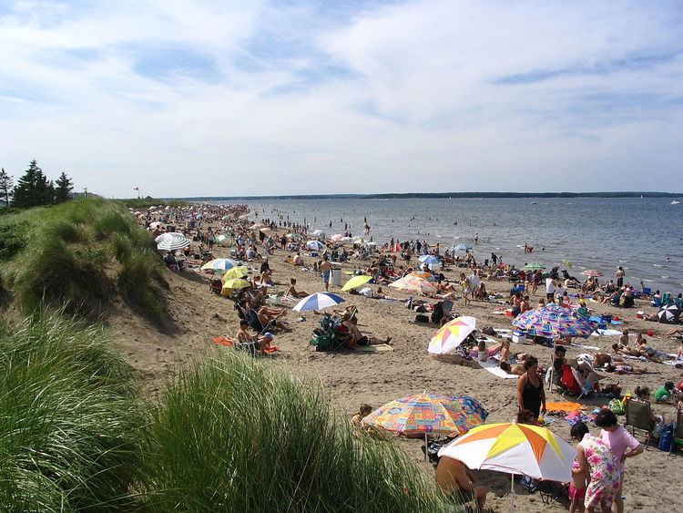
It is located about 50 km north-east of Moncton. The nearest population centre is Shediac. There are two small islands in the bay Shediac Island, and Skull Island, There is one major beach Parlee Beach which runs close. The bay contains Shediac Harbour which is a popular boating and fishing area. The Canadian Coast Guard maintain an inshore rescue boat station (CCG IRB Shediac) at Pointe du Chêne. The bay was a stopover location for Italo Balbo's transatlantic mass flight in 1933.
Major streams feeding into the bay are the Shediac River, Bateman Brook, and Scoudouc River.
2015 shediac bay autumn sailing
References
Shediac Bay Wikipedia(Text) CC BY-SA