
Owned by WMATA Structure type at-grade Address 9, MD, United States Platforms in use 1 | Parking 5,467 spaces Opened 15 December 1984 Tracks 2 | |
 | ||
Location 15903 Somerville DriveDerwood, MD 20855 Connections Ride On: 43, 46, 53, 55, 57, 58, 59, 60, 61, 63, 64, 65, 66, 67, 71, 74, 76, 78, 79, 90, 100 Metrobus: Q1, Q2, Q5, Q6 MTA Maryland Bus: 201, 202 991 Similar | ||
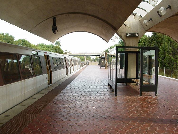
Red line ride from twinbrook to shady grove station md
Shady Grove is a Washington Metro station in Derwood, Maryland, United States. The station was opened on December 15, 1984, and is operated by the Washington Metropolitan Area Transit Authority (WMATA). Serving as the northwestern terminus of the Red Line, it was the station most distant from downtown Washington until July 26, 2014, when the Silver Line began operations. The station is the location of the Shady Grove Yard, one of the largest storage yards in the Metrorail system.
Contents
- Red line ride from twinbrook to shady grove station md
- Wmata metro train at shady grove station departing to glenmont
- Location
- Transit oriented development
- History
- References
Wmata metro train at shady grove station departing to glenmont
Location
Despite its name, Shady Grove station is located within the unincorporated community of Derwood; it takes its name from Shady Grove Road to the north. Much of the surrounding area is industrial or low-density residential in nature, although Rockville Road to the south contains strips of commercial activity. To the west is MD 355 (Frederick Road), a continuation of Rockville Pike, which the Red Line parallels throughout much of its route in western Montgomery County; MD 200A connects the Shady Grove station to I-370 and MD 200, better known as the Intercounty Connector. a toll road extending east to I-95. The station is the northernmost station in the Washington Metro system.
Transit-oriented development
In order to cope with increasing population growth and subsequent traffic congestion while combating urban sprawl, the Montgomery County Planning Department released the Shady Grove Sector Plan, which aims to act as a guideline for mixed-use growth around the station. The plan emphasises high-density residential and commercial properties within the immediate vicinity of Shady Grove station, with a steady transition to low-density as the distance from the station increases.
The Sector Plan divides the surrounding area into five districts: Metro North, Metro East, Metro West, Metro South, and Jeremiah Park. Combined, there will be over 6,000 residential units within walking distance of Shady Grove station. In addition, the plan encourages the creation of a walkable street grid with defined main streets integrated with a comprehensive open space and park system.
History
The station opened on December 15, 1984. Its opening coincided with the completion of 7 miles (11 km) of rail northwest of the then named Grosvenor station and the opening of the Rockville, Twinbrook, and White Flint stations. In 1996, this station was the site of the Washington Metro's second fatal accident in which one person was killed. The Washington Post reported that the striking train was two months overdue for scheduled brake maintenance. A degradation of brake performance could have played a role in the crash. The crash, which occurred during the Blizzard of 1996, was caused by a failure in the train's Automatic Train Control system.