
Time zone CST (UTC-6) Area 91.12 km² Population 1,453 (2010) | Established November 6, 1849 Elevation 271 m Local time Thursday 7:26 PM | |
 | ||
ZIP codes 60518, 60530, 60550, 60556 Weather 6°C, Wind NE at 27 km/h, 96% Humidity | ||
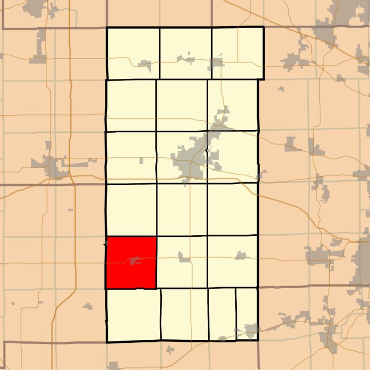
Shabbona Township is one of nineteen townships in DeKalb County, Illinois, USA. As of the 2010 census, its population was 1,453 and it contained 603 housing units. The township contains the Chief Shabbona Forest Preserve and Shabbona Lake State Park.
Contents
- Map of Shabbona Township IL USA
- Geography
- Cities towns villages
- Unincorporated towns
- Cemeteries
- School districts
- Political districts
- References
Map of Shabbona Township, IL, USA
Geography
According to the 2010 census, the township has a total area of 35.18 square miles (91.1 km2), of which 34.59 square miles (89.6 km2) (or 98.32%) is land and 0.59 square miles (1.5 km2) (or 1.68%) is water. The township is named after the Potawatomi tribal leader, Chief Shabbona.
Cities, towns, villages
Unincorporated towns
(This list is based on USGS data and may include former settlements.)
Cemeteries
The township contains these four cemeteries: Old English, Smith, Lee Calvary and Rose Hill.
School districts
Political districts
References
Shabbona Township, DeKalb County, Illinois Wikipedia(Text) CC BY-SA