
District Anantapur Time zone IST (UTC+5:30) Elevation 551 m Population 38,281 (2001) | Talukas Settur Vehicle registration AP Local time Thursday 6:37 PM | |
 | ||
Weather 36°C, Wind NE at 10 km/h, 17% Humidity | ||
Settur is a village and a mandal in Anantapur district in the state of Andhra Pradesh in India.
Contents
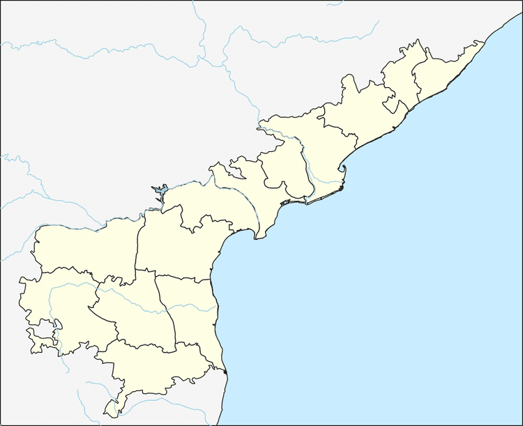
Map of Setturu, Andhra Pradesh 515767
Geography
Setturu is located at 14.4500°N 76.9833°E / 14.4500; 76.9833. It has an average elevation of 551 metres (1811 ft).
Demographics
According to Indian census, 2001, the demographic details of Settur mandal is as follows:
Panchayats
The following is the list of village panchayats in Settur mandal.
References
Settur Wikipedia(Text) CC BY-SA