
No. of municipalities 13 No. of parliamentary representatives 17 | Region Lisbonand Alentejo No. of parishes 82 | |
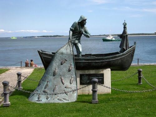 | ||
Clubs and Teams F.C. Barreirense, G.D. Fabril, Independente Futebol Clube Torrense, Beira Mar Atlético Clube Almada Colleges and Universities Polytechnic Institute of Setúbal, Faculdade de Ciências, Naval School Points of interest Christ the King, Playa de Fonte da Telha, Castelo de Sesimbra, Castle of Alcácer do Sal, Monastery of Jesus of Setúbal | ||
The beautiful set bal district in portugal
The District of Setúbal ([sɨˈtuβaɫ] [sɨˈtuβɐɫ], Portuguese: Distrito de Setúbal) is located in the south-west of Portugal, the District Capital is the city of Setúbal.
Contents
Map of Setubal, Portugal
Geography
It is delimited by Lisbon District and Santarém District on the north, Évora District on the east, Beja District on the south and the Atlantic Ocean on the west. It has an area of 5064 km², and a population of 789,459 inhabitants. It was split from Lisbon District in 1926, being the only Portuguese district created after 1835.
Municipalities
It is composed of 13 municipalities, spread over two sub regions:
References
Setúbal District Wikipedia(Text) CC BY-SA