Kalpana Kalpana (Editor)

Santarém District

Updated on
Edit
Like
Comment
Share on FacebookTweet on TwitterShare on LinkedInShare on Reddit
Country
  
No. of municipalities
  
21

No. of parliamentary representatives
  
10

Region
  
Centroand Alentejo

No. of parishes
  
193

Capital
  
Santarém District httpssihacom00121101466SantaremdisctrictA

Historical province
  
Ribatejo(partly Beira Baixaand Beira Litoral)

Colleges and Universities
  
Polytechnic Institute of Tomar, Polytechnic Institute of Santarém

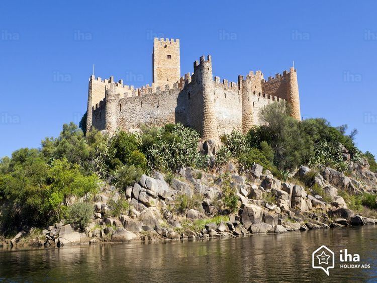
Clubs and Teams
  
C.D. Fátima, U.F.C.I. Tomar, Atlético Ouriense

Points of interest
  
Castelo de Tomar, Castle of Almourol, Castle of Ourém, Synagogue of Tomar, Castle of Torres Novas

Destinations
  
Fátima, Tomar, Santarém, Abrantes, Rio Maior

The District of Santarém ([sɐ̃tɐˈɾɐ̃j], Portuguese: Distrito de Santarém) is located in Centro Region, Portugal, the district capital is the city of Santarém.

Contents

Map of Santar%C3%A9m District, Portugal

It has an area of 6747 km² (3rd largest in Portugal), and a population of 475,344 inhabitants.

Municipalities

The district includes the following 21 municipalities.

  • Abrantes
  • Alcanena
  • Almeirim
  • Alpiarça
  • Benavente
  • Cartaxo
  • Chamusca
  • Constância
  • Coruche
  • Entroncamento
  • Ferreira do Zêzere
  • Golegã
  • Mação
  • Ourém
  • Rio Maior
  • Salvaterra de Magos
  • Santarém
  • Sardoal
  • Tomar
  • Torres Novas
  • Vila Nova da Barquinha
  • References

    Santarém District Wikipedia


    Similar Topics