
Elevation 2,615 m (8,579 ft) Phone +57 310 3492460 Established 1971 | Width 30 km (19 mi) Area 6,200 km² | |
 | ||
Length 120 km (75 mi) north-south Hours Open today · Open 24 hoursThursdayOpen 24 hoursFridayOpen 24 hoursSaturdayClosedSundayClosedMondayOpen 24 hoursTuesdayOpen 24 hoursWednesdayOpen 24 hoursSuggest an edit Similar Caño Cristales, Tatacoa Desert, Chicamocha Canyon, Sierra Nevada de Santa Ma, Lake Tota | ||
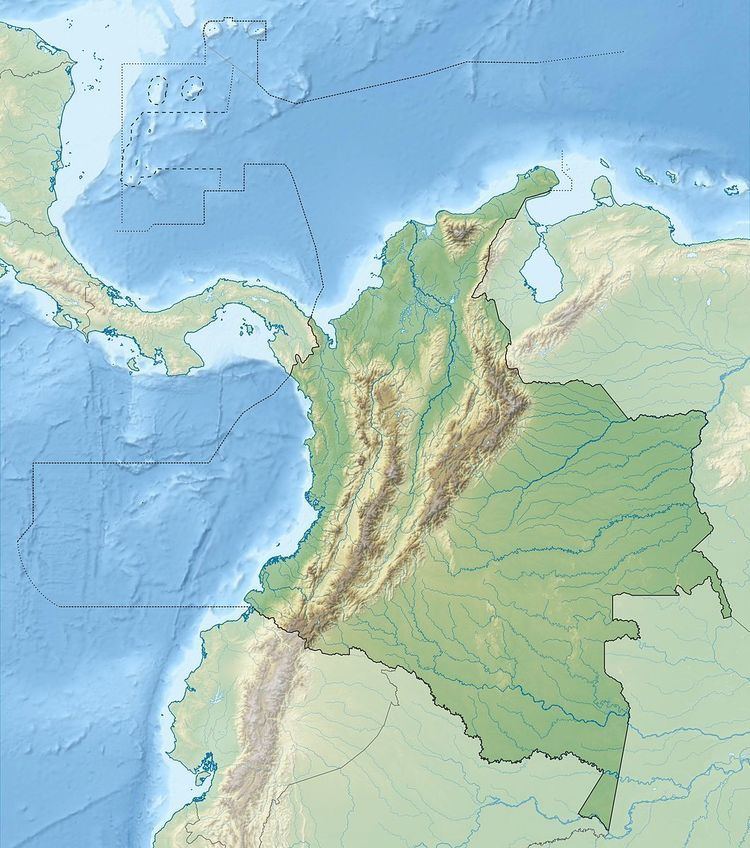
Serranía de la Macarena is an isolated mountain range located in the Meta Department, Colombia. The mountains are separated by about 40 km (25 mi) at their northern extreme from the East Andes. The range is orientated from north to south and is 120 km (75 mi) in length and 30 km (19 mi) wide. The highest peak ("El Gobernador", the governor) reaches 2,615 m (8,579 ft) and is the highest point of the Orinoquía Region. The first national reserve in Colombia was established in the central part of the mountain range in accordance with a Congressional Law promulgated in 1948. The status of National Natural Park was designated in 1971 and the protected area encompasses 6,200 km2 (2,400 sq mi).
Contents
Serran a de la macarena
Biodiversity
The national park encompasses the ecologically unique meeting point for the flora and fauna of the Amazon, Orinoco and Andes regions. The area is of tropical climate and temperatures range from 42 °F (5.5 °C) to 88 °F (31 °C). These aspects help to maintain a high level of biodiversity with numerous endemic and rare species.
The ecosystems found within the park include rainforest, dry forest, shrublands and savanna. The mountains are home to around 50 known species of orchids, and botanists studying the area have identified more than 2000 other species of plants.
Mammal species include anteaters, jaguars, cougars, deer, 8 species of monkeys
There are recorded 550 species of birds including the rare gray-legged tinamou.
100 species of reptiles
1,200 species of insects and
Ecotourism
The La Macarena National and Ecological Reserve Park is internationally known the Caño Cristales, known by people who has visited it one of the most beautiful rivers in the world.
There are also other important waterfalls such as Angostura I in the Guayabero and Caño Cafre rivers, surrounded by rocky edges with a great amount of petroglifos. Many waterfalls, as is the case of El Gato or Sopla Culos area difficult to spot due to the steep topography. Not the case of Canoas, which is one of the highest waterfalls in the Sierra
Geology
Basement rocks on the east side of the Macarenas include the Precambrian granite of the Guyana Shield in the Guaviare River valley and the San Jose del Guaviare area. The rocks of the shield are overlain by sandstones and conglomerates of the Vaupes Formation of Lower Paleozoic to the lower Oligocene age.