
State/Province ES Elevation 1,044 m | Province Province of Tarragona | |
 | ||
Similar Ports de Tortosa‑Beseit, Roques de Benet, Muntanya de Santa Bàrbara, La Moleta, Serra de Vallivana | ||
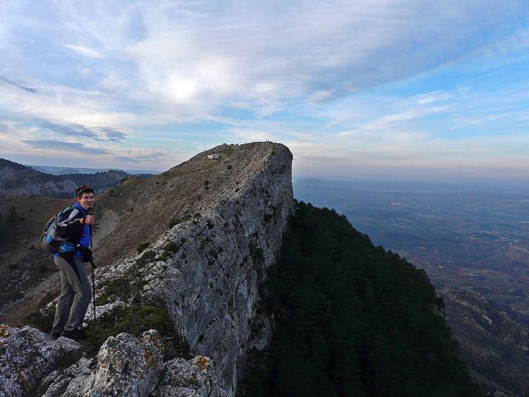
Serra de Paüls is a mountain range in the northern side of the Ports de Tortosa-Beseit, Catalonia, Spain. The highest summit, Punta de l'Aigua has an elevation of 1,091.6 metres above sea level.
Contents
Map of Serra de Pa%C3%BCls, 43595, Tarragona, Spain
Geography
The central part of the range is known as Montsagre de Paüls.
This range is named after the town of Paüls, located on its SE side. Together with neighboring and parallel Serra de l'Espina the Serra de Paüls is within the geological area that connects the Ports de Tortosa-Beseit mountain massif with the Catalan Pre-Coastal Range.
References
Serra de Paüls Wikipedia(Text) CC BY-SA