
Elevation 705 m | Province Province of Tarragona | |
 | ||
Parent range | ||
Los humillados serra de p ndols
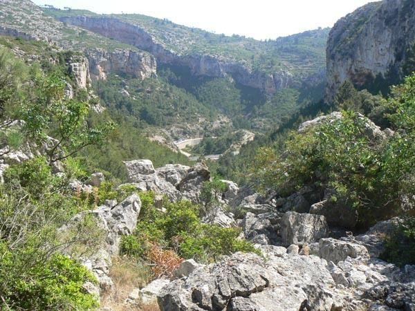
Serra de Pàndols is a limestone mountain chain located at the southern end of the Catalan Pre-Coastal Range, in Catalonia, Spain.
Contents
- Los humillados serra de p ndols
- Map of Serra de PC3A0ndols 43780 Tarragona Spain
- Serra de p ndols 25 juliol 2016
- Hill 705Edit
- References
Map of Serra de P%C3%A0ndols, 43780, Tarragona, Spain
There is a project to install wind turbines on the Serra de Pàndols and neighboring Serra de Cavalls which has met with public protests. The Serra de Paüls mountain range is located to the south of this range.
Serra de p ndols 25 juliol 2016
Hill 705Edit
The ridge's highest point is Punta Alta (705.5 m). This summit was known as Hill 705 (Cota 705) during the Battle of the Ebro, the bloodiest and most protracted series of combats in the Spanish Civil War (1936–39). The Battle was also the last action of the International Brigades, who were withdrawn midway through it.
Close to the peak stands a monument to those who died in the battles. Hill 705 was a key position to control the Serra de Pàndols range at the time of the Battle of the Ebro. The summit lies within the Pinell de Brai municipal term.