
District East Kameng Elevation 363 m | Time zone IST (UTC+5:30) Vehicle registration AR Population 18,184 (2011) | |
 | ||
Weather 21°C, Wind N at 2 km/h, 78% Humidity | ||
Meyang chang seppa east kameng arunachal pradesh
Seppa (formerly known as Sepla) is the headquarters of the East Kameng district in the state of Arunachal Pradesh in India. Sapla means 'marshy' land in the local dialect. It lies on the bank of Kameng River and there is a helipad there. It is located 160 kilometres (99 mi) from Itanagar and 213 kilometres (132 mi) from Tezpur (Assam) connected by motorable road. Map p 22 The village of Seppa has 2 out of the 60 Vidhan Sabha Constituencies of Arunachal Pradesh. They are Seppa East and Seppa West.
Contents
- Meyang chang seppa east kameng arunachal pradesh
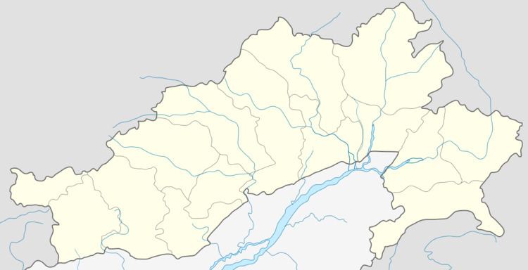
- Map of Seppa 790102
- Paragliding at seppa east kameng arunachal pradesh
- Demographics
- Media
- References
Map of Seppa 790102
Paragliding at seppa east kameng arunachal pradesh
Demographics
As of 2001 India census, Seppa had a population of 14,965; males constituted 53% of the population and females 47%; 21% of the population was under 6 years of age; the average literacy rate was 53%—lower than the national average of 59.5%, with 64% male literacy and 41% female literacy.
Media
Seppa has an All India Radio Relay station known as Akashvani Seppa. It broadcasts on FM frequencies.