
Country United States GNIS feature ID 1552243 Local time Wednesday 9:49 AM | Time zone Eastern (EST) (UTC-5) Elevation 478 m | |
 | ||
Weather 12°C, Wind N at 8 km/h, 80% Humidity | ||
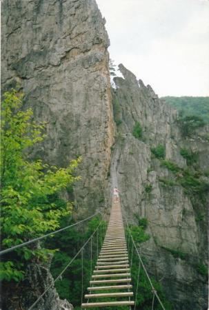
Seneca Rocks is an unincorporated community located in Pendleton County, West Virginia, United States. The community of Seneca Rocks — formerly known as Mouth of Seneca — lies along West Virginia Route 28/West Virginia Route 55 near the confluence of Seneca Creek and the North Fork South Branch Potomac River. The community also lies near Seneca Rocks, the crag from which it takes its name. Both lie within the Spruce Knob-Seneca Rocks National Recreation Area of the Monongahela National Forest.
Map of Seneca Rocks, WV 26884, USA
Located at Seneca Rocks is the Sites Homestead (c. 1839), now part of the Seneca Rocks Visitor Center and listed on the National Register of Historic Places in 2004. Located nearby is the Boggs Mill (c. 1830), listed in 2004.
References
Seneca Rocks, West Virginia Wikipedia(Text) CC BY-SA