Time zone CET/CEST (UTC+1/+2) Elevation 68 m Local time Wednesday 3:21 PM | District Warendorf Postal codes 48324 Population 13,236 (31 Dec 2010) Postal code 48324 | |
 | ||
Weather 15°C, Wind SW at 26 km/h, 65% Humidity | ||
Sendenhorst fd responding to a car accident on 1st march 2017
Sendenhorst is a town in the district of Warendorf, in North Rhine-Westphalia, Germany. It is situated approximately 20 km (12 mi) north of Hamm and 20 km (12 mi) south-east of Münster.
Contents
- Sendenhorst fd responding to a car accident on 1st march 2017
- Map of Sendenhorst Germany
- Sendenhorst 161112
- Geography
- References
Map of Sendenhorst, Germany
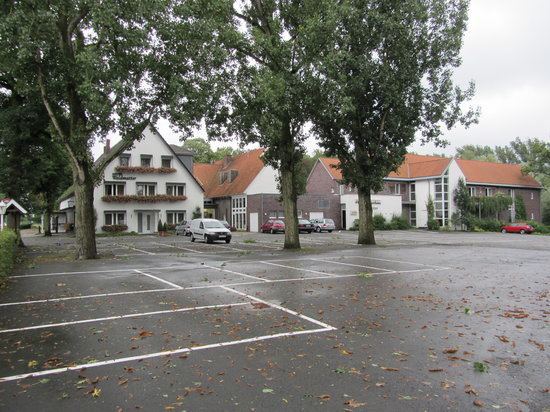
Sendenhorst 161112
Geography
Sendenhorst consists of Sendenhorst and Albersloh. Before the municipal reform of 1975, Sendenhorst was located in the former Beckum District and Albersloh in the former district of Münster (Landkreis). The river Werse flows through Albersloh.
References
Sendenhorst Wikipedia(Text) CC BY-SA
