
Constituency Nakaseke South Elevation 1,180 m | Time zone EAT (UTC+3) Local time Wednesday 2:52 PM | |
 | ||
Weather 28°C, Wind E at 6 km/h, 59% Humidity | ||
Semuto is a town in the Central Region of Uganda. It is one of the urban centers in Nakaseke District. The correct phonetic spelling of the town is "Ssemuto".
Contents
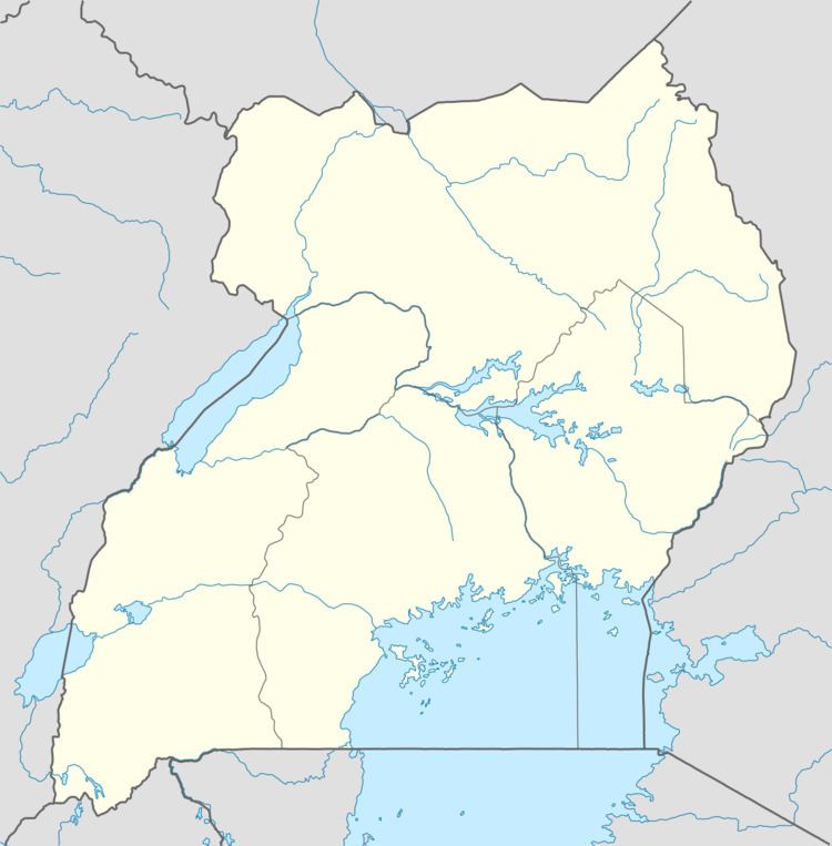
Map of Semuto, Uganda
Location
Semuto is approximately 36 kilometres (22 mi), by road, northwest of Matugga on the Matugga–Kapeeka Road. This is approximately 55 kilometres (34 mi), by road, northwest of Kampala, Uganda's capital and largest city. The coordinates of the town are 0°37'12.0"N, 32°19'40.0"E (Latitude:0.620000; Longitude:32.327778).
Overview
The road is 42 kilometres (26 mi) long, linking Matugga in Wakiso District to Kapeeka in Nakaseke District. The road goes through Gombe in Wakiso District and Semuto. The road was upgraded from gravel to bitumen at an estimated cost of US$20 million. 65 percent of the funding was provided by the government of Uganda, while 35 percent was provided by the Nordic Development Fund. The work was carried out by China Chongqing International Construction Corporation. COWI A/S, a Danish consultancy firm, supervised the work. Construction was completed in late 2011.
Points of interest
The following additional points of interest are found within the town limits or close to the edges of town: