Rahul Sharma (Editor)

Semproniano

Updated on
Edit
Like
Comment
Share on FacebookTweet on TwitterShare on LinkedInShare on Reddit
Country
  
Italy

Elevation
  
622 m (2,041 ft)

Dialing code
  
0564

Local time
  
Monday 8:14 AM

Province
  
Province of Grosseto

Dialling code
  
0564

Province / Metropolitan city
  
Grosseto (GR)

Time zone
  
CET (UTC+1)

Area
  
81.3 km²

Postal code
  
58055

Region
  
Tuscany

Semproniano

Frazioni
  
Catabbio, Cellena, Petricci, Rocchette di Fazio

Weather
  
6°C, Wind N at 24 km/h, 63% Humidity

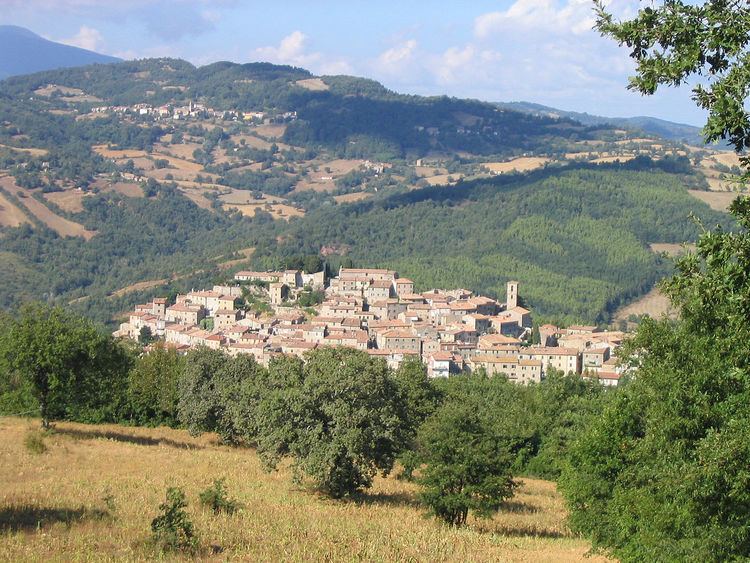
Semproniano is a comune (municipality) in the Province of Grosseto in the Italian region Tuscany, located about 120 kilometres (75 mi) south of Florence and about 35 kilometres (22 mi) east of Grosseto. As of 31 December 2004, it had a population of 1,278 and an area of 81.3 square kilometres (31.4 sq mi).

Contents

Map of 58055 Semproniano Province of Grosseto, Italy

Semproniano borders the following municipalities: Castell'Azzara, Manciano, Roccalbegna, Santa Fiora, Sorano.

Main sights

  • The medieval Palazzo Civico and Palazzo dei Vicari Mediceo
  • Church of Santa Croce, faced by the remains of the Aldobrandeschi castle (Rocca).
  • The 12th century (renamed in the 16th century) Pieve dei Santi Vincenzo e Anastasio.
  • the castle of Catabbio, built in the 12th century by the Aldobrandeschi and later used by the Orsini of Pitigliano
  • the notable medieval burgh of Rocchette di Fazio.
  • References

    Semproniano Wikipedia