
Prominence 137 m (449 ft) OSI/OSNI grid G908142 Province Connacht | Parent range Arigna Mountains Elevation 428 m | |
 | ||
Similar Knock - Mayo, Barrclashcame, Knockalongy, Slieve Anierin, Trusk | ||
Seltannasaggart (from Irish: Sailtean na Sagart, meaning "willow plantation of the priests"), also called Corry Mountain, is a low mountain near Lough Allen on the border of County Roscommon and County Leitrim in Ireland.
Contents
Map of Seltannasaggart, Co. Leitrim, Ireland
GeographyEdit
The mountain is the highest point of County Roscommon. It is part of the Arigna Mountains and rises to a height of 428 metres (1,404 ft). On the southern slopes are the remains of a promontory fort and sweat houses.
Access to the summitEdit
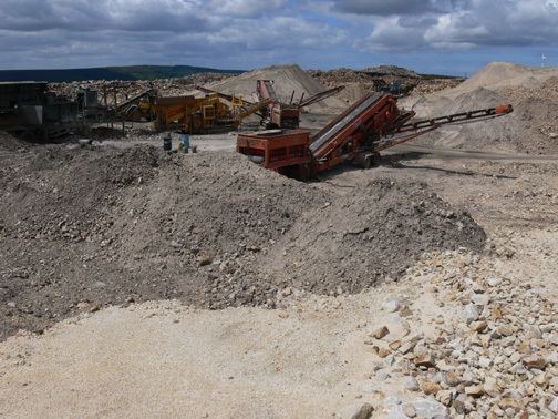
There is a wind farm and a quarry on the summit, which is easily accessible. The Miners Way trail passes over it.
References
Seltannasaggart Wikipedia(Text) CC BY-SA