
District Pondicherry Local time Monday 5:27 AM Area code 0413 | State Puducherry Time zone IST (UTC+5:30) Population 36,983 (2001) | |
 | ||
Weather 23°C, Wind W at 3 km/h, 87% Humidity | ||
Seliamedu (Tamil: சேலியமேடு) is a village, sub-taluk in Bahour Commune of Bahour taluk in the Union Territory of Puducherry, India. It lies on north side in the Bahour Enclave of Puducherry district.
Contents
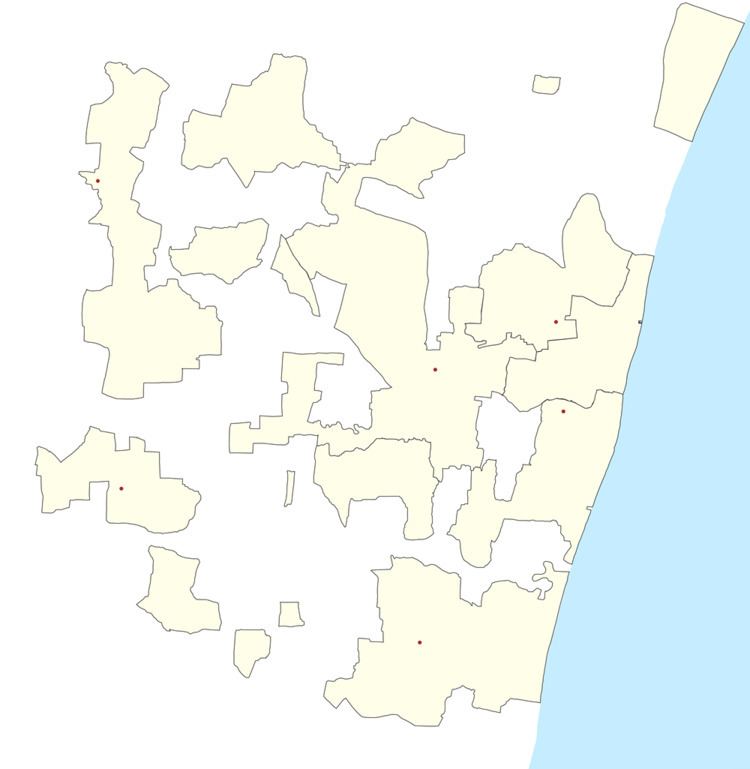
Map of Seliamedu, Puducherry 607402
Geography
Seliamedu is bordered by Bahour in the west, Keezh Kumaramangalam village of Tamil nadu in the north, Nagappanur village of Tamil nadu in east and Kudiyiruppupalayam in the south.
Road Network
Seliamedu lies on Villianur - Bahour road (RC-18). Seliamedu is also connected by TN Palayam-Bahour road.
Villages
Following are the list of villages under Seliamedu Village Panchayat.
Politics
Seliamedu is a part of Embalam (Union Territory Assembly constituency) which comes under Puducherry (Lok Sabha constituency)
References
Seliamedu Wikipedia(Text) CC BY-SA