
Local time Monday 4:19 AM | ||
 | ||
District Officer Wan Akil bin Wan Ahmad Bujang Weather 24°C, Wind SE at 5 km/h, 97% Humidity | ||
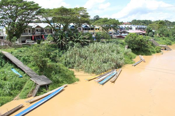
Selangau, Sarawak, is a small town which is located by the Pan Borneo Highway(Sibu-Bintulu Road). It is also located by Batang Mukah, a river which flows to the South China Sea. It is located approximately 74 km from Sibu town, 84 km from Mukah town and 134 km from Bintulu town. Selangau town is the administrative town for the Selangau District.
Contents
Map of Selangau, Sarawak, Malaysia
History
The name "Selangau" comes from the name of a river, which is one of the tributaries of the Mukah River.In the 60's, after the completion of the Pan Borneo Highway, the people starts to build their settlement by the road, and that is where Selangau is today.
Due to the rising population and the development of Selangau, it was declared as a new district on 1 Mac 2002. It is now under the Sibu Division.
Demographics
The population (2010) of the district is 24,412, with the Iban as the majority. There are also Chinese, Malay and Melanau here.