
Population (2002) 5,838 Local time Sunday 1:33 PM | Time zone EET (UTC+2) | |
 | ||
Weather 9°C, Wind N at 27 km/h, 40% Humidity | ||
Secusigiu (Hungarian: Székesút) is a commune in Arad County, Romania, is situated in the north-western part of the Vingăi Plateau and it occupies 17202 ha. It is composed of four villages: Munar (Munár), Satu Mare (Temesnagyfalu), Sânpetru German (Németszentpéter; German: Deutschsanktpeter) and Secusigiu (situated at 31 km from Arad).
Contents
Map of Secusigiu 317285, Romania
Population
According to the 2002 census the population of the commune counts 5838 inhabitants, out of which 82.4% are Romanians, 7.0% Hungarians, 5.0% Roma, 1.4% Germans, 3.6% Ukrainians and 0.6% are of other or undeclared nationalities.
History
The first documentary record of Secusigiu dates back to 1359. Munar was attested documentarily in 1219, Satu Mare in 1333, while Sânpetru German in 1335.
Economy
The economy of the commune is based on agriculture, mainly on growing of corn, maize, sunflower, barley, sugar-beet, tomato, watermelon and honeydew melon. The secondary economic sector is represented by confection industry, respectively by a section of knitwear offering employment mostly for women.
Tourism
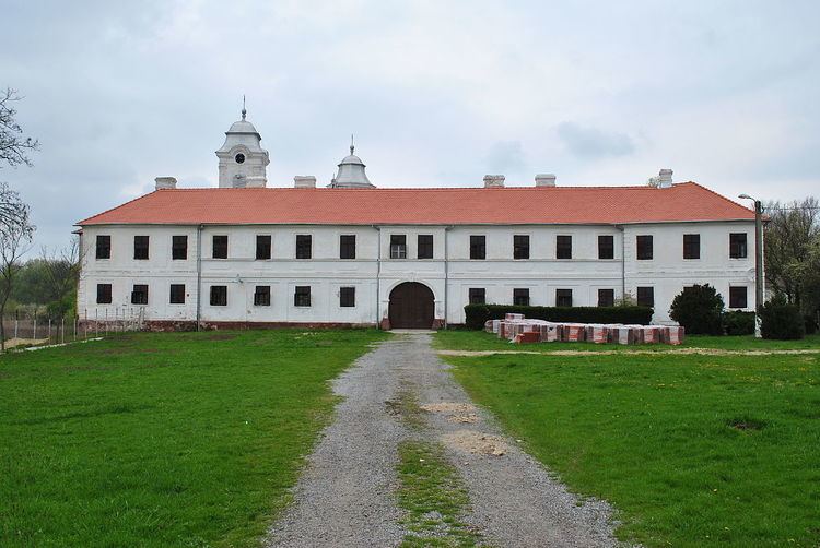
The Natural park "Lunca Mureșului", the reservation called "Prundul Mare", the church built in 1529, the Serb monastery situated on the bank of the Mureș River, 4 km from Munar, the church demolished by the Turks and rebuilt between 1776-1781 in Baroque style, the lake with white water-lily close to the monastery, the boundary-stones in Munar, the Roman Catholic Church built in 1774 and Saint Peter's Statue put up in the centre of Sânpetru German are the most important sights of the commune.