
Județul Arad 1968 Area 7,754 km² | Population 409,072 (2011) Clubs and Teams Vagonul Arad, CFR Arad | |
 | ||
Colleges and Universities Vasile Goldiș Western University of Arad, Aurel Vlaicu University of Arad Points of interest Săvârșin Castle, Maria Radna, Șoimoș Fortress, Parcul Reconcilierii, Evangelisch‑Lutherische Kirche Arad Destinations Arad, Mureș Floodplai, Lipova, Săvârșin, Șiria | ||
Driving in lipova arad county romania part 1
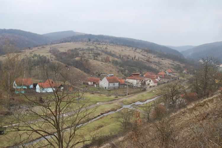
Arad ([aˈrad]) is an administrative division (judeţ) of Romania roughly translated into county in the western part of the country on the border with Hungary, mostly in the region of Crișana and few villages in Banat. The administrative center of the county lies in the city of Arad. The Arad County is part of the Danube–Criș–Mureș–Tisa Euroregion.
Contents
- Driving in lipova arad county romania part 1
- Map of Arad County Romania
- Driving in arad county romania p t r usus u chelmac timelapse 2x
- Name
- Geography
- Neighbours
- Climate and precipitation
- Hydrographic network
- Lakes ponds and channels
- Demographics
- Economy
- Tourism
- Politics
- Administrative divisions
- References
Map of Arad County, Romania
Driving in arad county romania p t r usus u chelmac timelapse 2x
Name
In Hungarian, it is known as Arad megye, in Serbian as Арад / Arad, and in German as Kreis Arad. The county was named after its administrative center, Arad.
Geography
The county has a total area of 7,754 km², representing 3.6% of national Romanian territory. The terrain of Arad County is divided into two distinct units that cover almost half of the county each. The eastern side of the county has a hilly to low mountainous terrain (Dealurile Lipovei, Munții Zărandului, Munții Codru Moma) and on the western side it's a plain zone consisting of the Arad Plain, Low Mures Plain, and The High Vinga Plain. Taking altitude into account we notice that it follows a stepped pattern as it drops as we go from the east to the west of the county from 1489 m to below 100 m. In the east there are the Zarand Mountainsnand the Codru Moma Mountains, all subdivisions of the Apuseni Mountains, a major group of the Western Carpathians.
Neighbours
Climate and precipitation
In terms of climate, the characteristics of Arad county have a typical temperate continental climate with oceanic influences, with a circulation of air masses with a predominantly western ordered direction visible from west to east, with increasing altitude. Average annual temperatures range from 10 °C in the lowlands, the hills and piedmonts 9 °C, 8 °C and 6 °C in the low mountains in the area of greatest height. Average amounts of precipitation fall in values between 565–600 mm annually in the lowlands, 700–800 mm annually in the hills and piedmonts and 800–1200 mm annually in the mountainous area.
Hydrographic network
The hydrographic network is composed of the two main rivers plus their tributaries and channels.
Lakes, ponds and channels
Demographics
In 1720, the population was as follows - 374 houses:
In October 31, 2011, it had a population of 409,072 and the population density was 52/km². The main ethnic composition was, as follows:
Economy
Along with Timiș County it forms one of the most developed regions in Romania. Due to its proximity to the border, it attracts a great number of foreign investments. The agricultural potential is greatly put into value, Arad plains being considered one of the most important cereal and vegetable producing basins.
The predominant industries in the county are:
Natural resources in Arad, are worthy to be taken into account as there are oil and associated gases, points of extraction in the west of the county, molibden mines in the Săvârșin area, marble quarries at Căprioara and Moneasa, mineral waters at Lipova, Moneasa, Dorobanți, Curtici, Macea and uranium deposits in the NE part of the county.
Tourism
The main tourist destinations are:
Politics
The Arad County Council, elected at the 2016 local government elections, is made up of 33 counselors, with the following party composition:
Administrative divisions
Arad County has 1 municipality, 9 towns and 68 communes with approximately 180 villages.