
Type Slough (hydrology) River source Borel Creek | ||
 | ||
River sources Borel Creek, Leslie Creek, Laurel Creek Similar Miller Creek, Leimert Bridge, San Rafael Creek, The Brothers, San Francisco Bay Disc | ||
Seal Slough is a narrow winding tidal channel through a tidal marsh in San Mateo and Foster City, California. This slough has been the object of a wetland restoration project in recent years to enhance habitat value. Dredging has been carried out in Seal Slough since at least 1954. When the original sewage treatment plant for the city of San Mateo was constructed in 1935, its discharge was directed to Seal Slough.
Contents
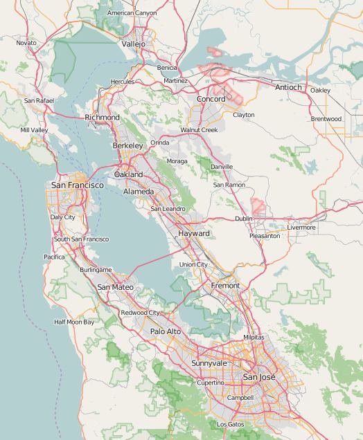
Map of Seal Slough, California, USA
The marshy area through which Seal Slough meanders is a productive brackish wetland whose dominant flora is cordgrass. There are a number of significant wildlife features associated with Seal Slough, including use by the endangered California clapper rail. A tide gate near the mouth of Seal Slough regulates tidal influx from San Francisco Bay to the Marina Lagoon; this flushing action is important to prevent population explosion of midges in the local area.
Course
Seal Slough has a tidal exchange with San Francisco Bay on the eastern shoreline of the city of San Mateo, approximately midway between Coyote Point and the San Mateo Bridge. At its mouth there is a marshy area and an extent of bay mud extending approximately 700 meters northward into San Francisco Bay. Near the mouth area is situated the city of San Mateo Wastewater Treatment Plant and Bayside School. The course of the slough is highly tortuous as it winds easterly. Further along its course continuing eastward, single-family residential uses have encroached closely on its southern banks; in this middle reach it also passes close to and north of Parkside School. Further to the east it passes beside Lakeshore School before crossing under Hillsdale Boulevard and entering Foster City.
Ecology
Much of the information regarding Seal slough was developed in a 1980 study, in which Caltrans and the city retained Earth Metrics to analyze impacts of a new bridge across Seal Slough at East Third Avenue. The most significant habitat area along Seal Slough is the tidal mouth, where there are three identified plant community zones. The lowest zone is defined by the presence of mudflats and/or the dominant plant cordgrass, distichlis sp. The middle zone is characterized by the dominant plant pickleweed, Salicornia sp., and the upper zone, which is the most disturbed, is characterized by salt grass, Distichlis spicata, and by peripheral halophytes (salt tolerant plants). The pickleweed community thrives primarily on the north banks of Seal Slough. Cordgrass and pickleweed habitats are among the most productive types in the state of California, in each case producing over five tons of organic material per acre per annum. Further these plants supply the adjacent mudflats with detritus that is the basis of estuarine food chains.
Cordgrass is also used for food and cover for a multiplicity of waterfowl, including the endangered California clapper rail, which species occurs in Seal Slough. Other avafauna found in this robust wetland include killdeer, mallards and the snowy egret. The Seal Slough mudflats also provide a feeding area at high tides for a variety of fishes including topsmelt, anchovy, bat ray, leopard shark, spiny dogfish, striped bass and longjaw mudsucker.